
Paddling the Kenai River – Soldotna to the Kenai River Mouth on Cook Inlet
I’m always looking for interesting places to kayak and when given the opportunity and someone kind enough to run a shuttle for me, a river is just damn awesome, even if it is not a serious whitewater challenge. Since we were camped right on the Kenai River at Soldotna, AK, I thought, what the heck, it is about 20 1/2 nautical miles or 23 ½ miles (38 km) for you landlubbers, to the ocean. With some decent current flow that isn’t a bad half-day paddle.
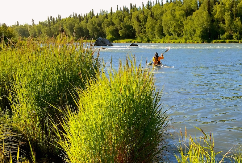
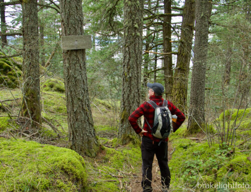
Starting at the Swiftwater Campround Boat Launch
The Kenai flows from Kenai Lake, up near Coopers Landing, down to Kenai on the Cook Inlet. The water is a beautiful silty green colour and is icy cold. Up much higher there are some nice class 3 and 4 rapids, which would have been fun with the paddling partners, but down near Soldotna and paddling solo, I was just dealing with class 1 and 2 water. Coopers Landing is a small town and is a major major destination for people wanting to fish. There are many river-side lodges, lots of guided fishing operations, especially drift fishing in river dorys, and guided raft trips.
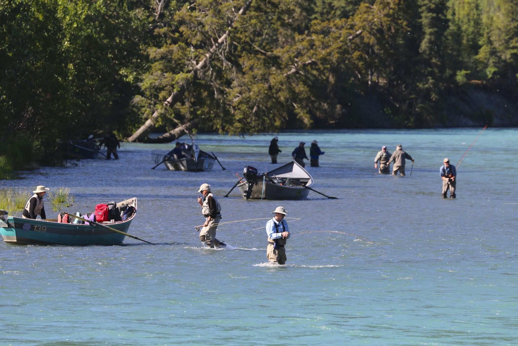
Crowded Fishing on the upper Kenai
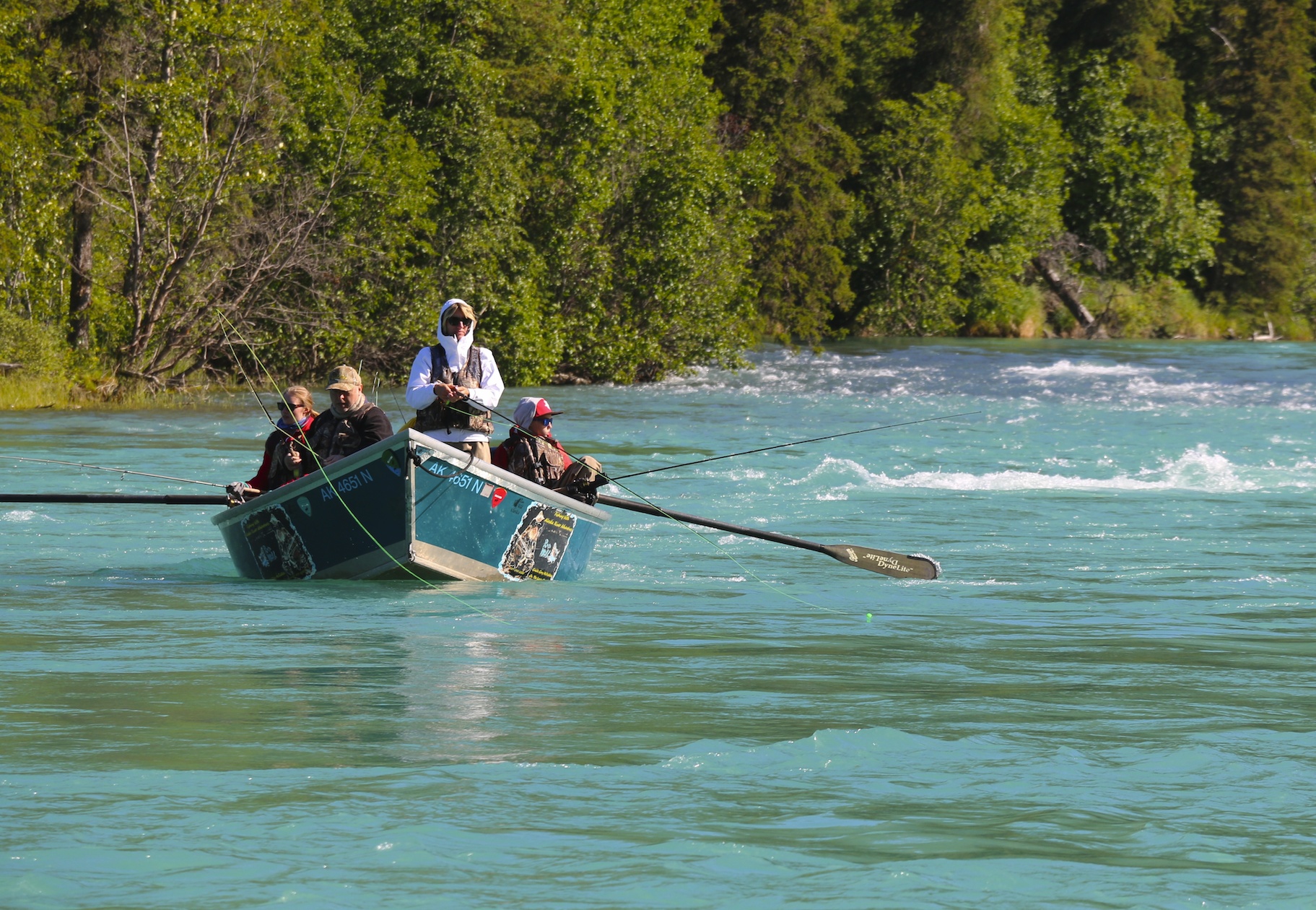
Drift Fishing near Coopers Landing
The largest recreational fishery in Alaska is supported by the Kenai River, and there are huge runs of Chinook, Coho, Sockeye and Pinks, as well as other fish species such as Rainbow Trout and Dolly Varden. The crowds that show up for the salmon runs that usually get into full swing around the end of June, are nothing short or amazing. Practically every accessible section of the river around Soldotna has staircases and fishing platforms. Fishing lodges and fishing charter operations are everywhere. There is even a dip netting opening exclusively for Alaskan residents to fish for sockeye or ‘Reds’ as they call them.
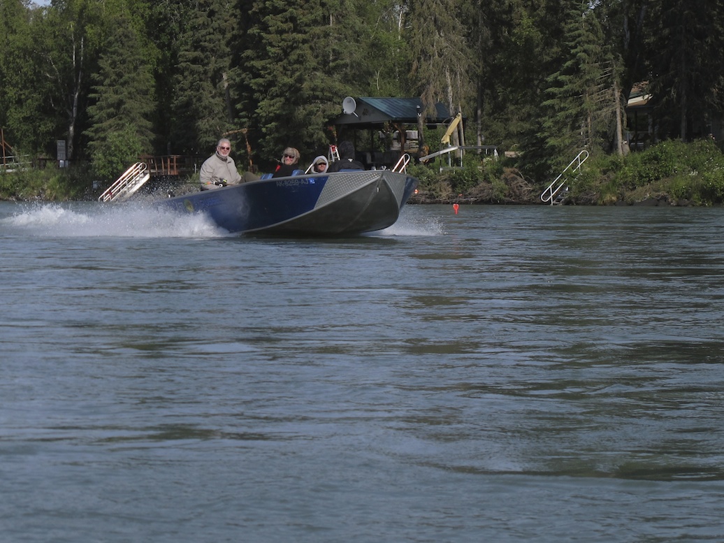
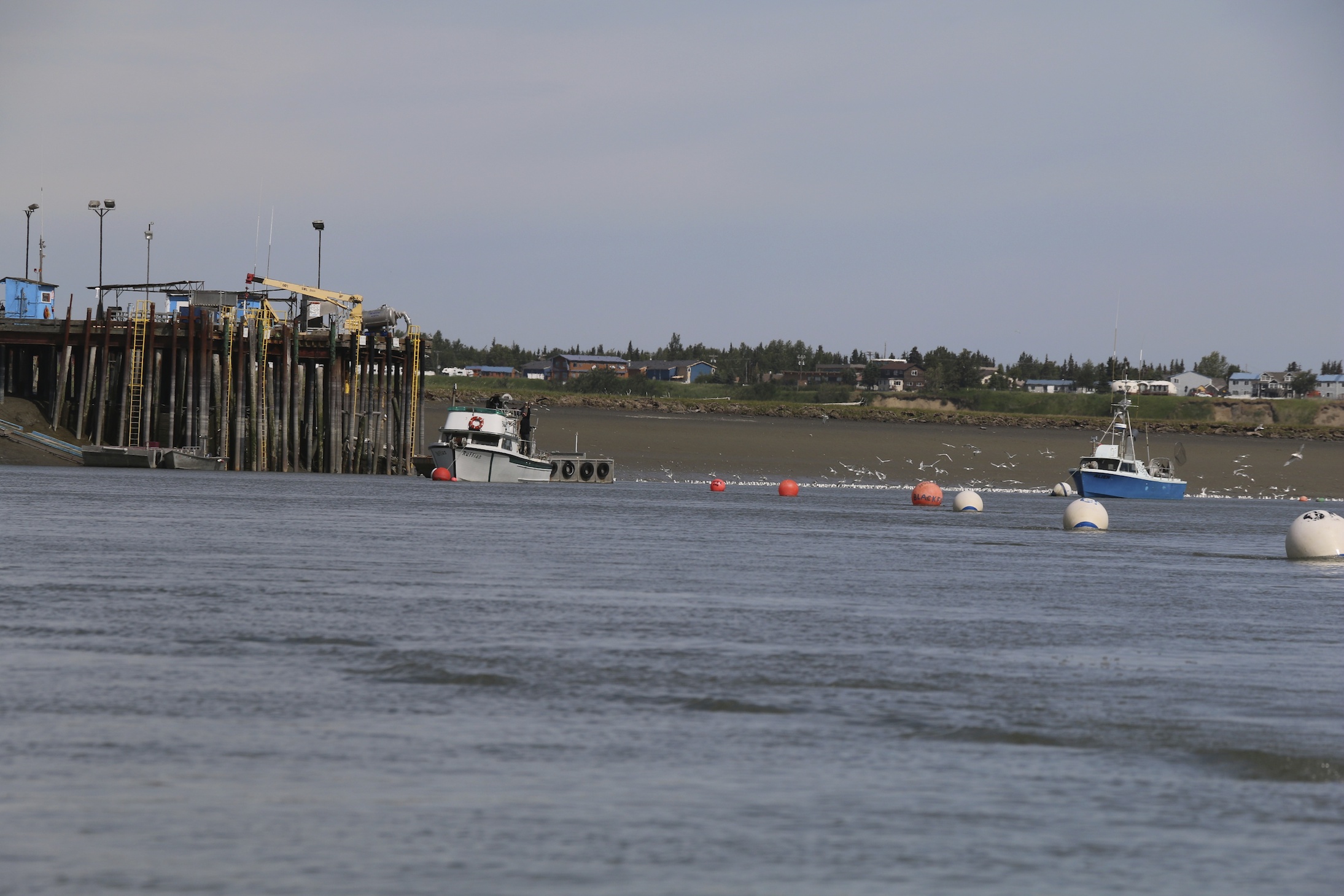
Lots of charter fishing boats on the river
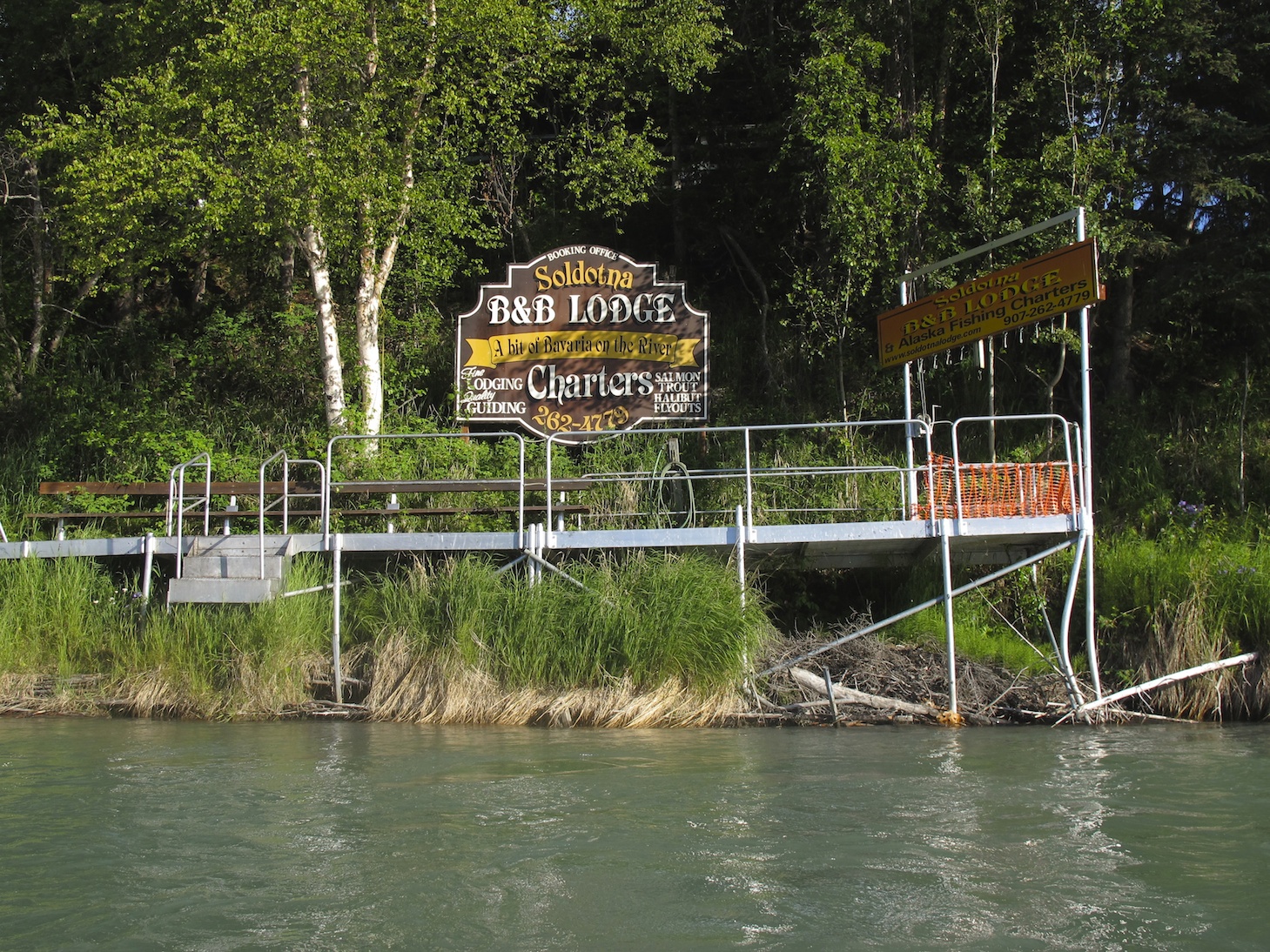
Fishing Charters, Fishing Lodges and Fishing Platforms Everywhere
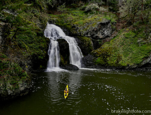
The first half the trip, the river flows a pretty decent, 4 – 4 ½ knots, so I was ripping right along and I was able to find a few decent but small waves to surf and some big boulders that provided some fun eddy turns. After that it begins to slow down and near the end it is less than 2 knots at low tide. The river is affected by tides for quite a few miles upstream, and fortunately, the day I paddled, low tide wasn’t until 10:30, and I didn’t actually pick up any opposing current until I was just about at the river mouth.
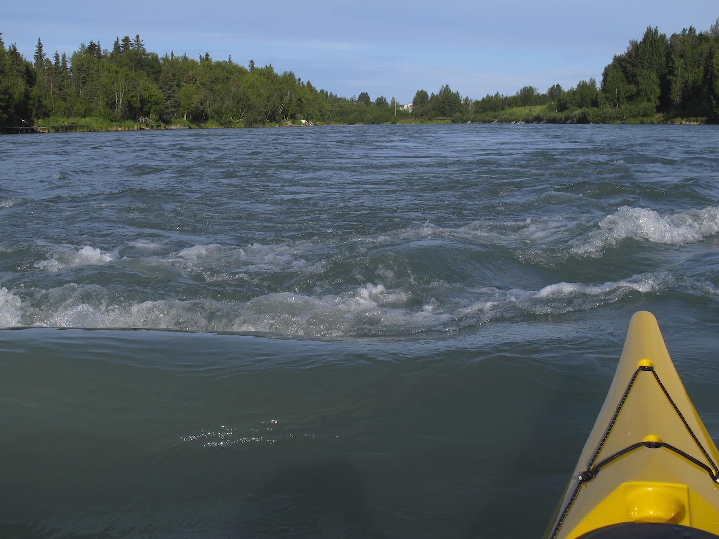
Fast water, small rapids
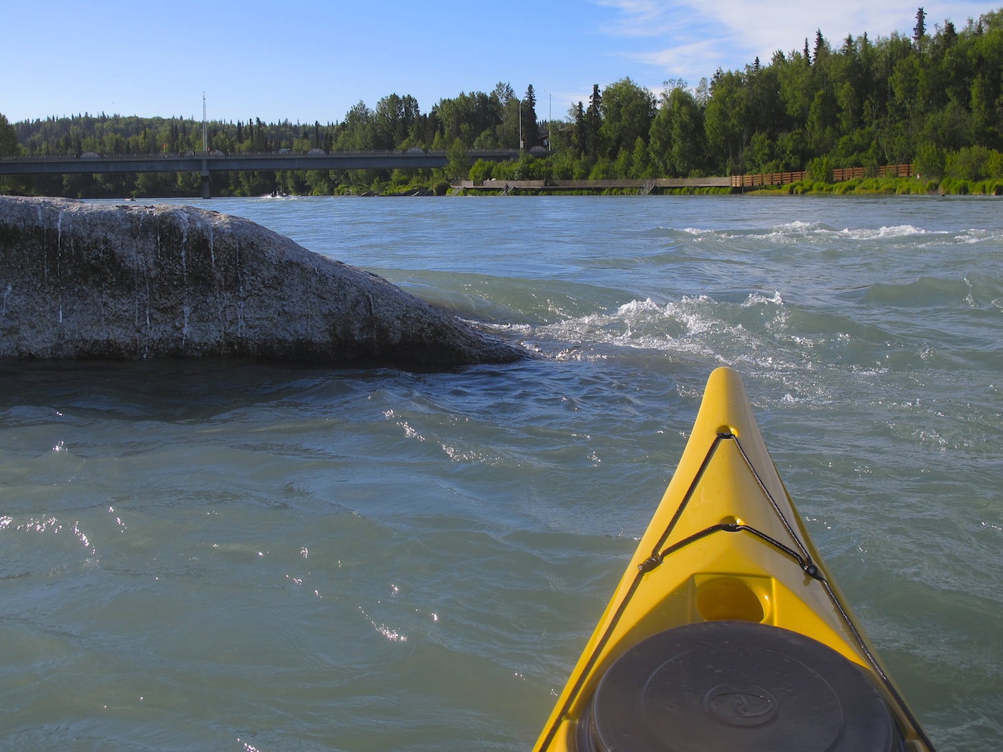
Playing in the Eddys
A pleasant, less congested section of the river
I was hoping to spot a bear or moose or something along the way, but my wildlife sighting were restricted to a couple of beavers, a fair number of Arctic Terns and Bonaparte gulls and a lot of bald eagles, most of them immatures. I chose not to fish as fishing licenses are not cheap, the fish weren’t running and my skills as an angler are poor. The fact that the major fish runs hadn’t started yet didn’t stop others however. There were lots of folks fishing from the river banks and many charter boats on the water.
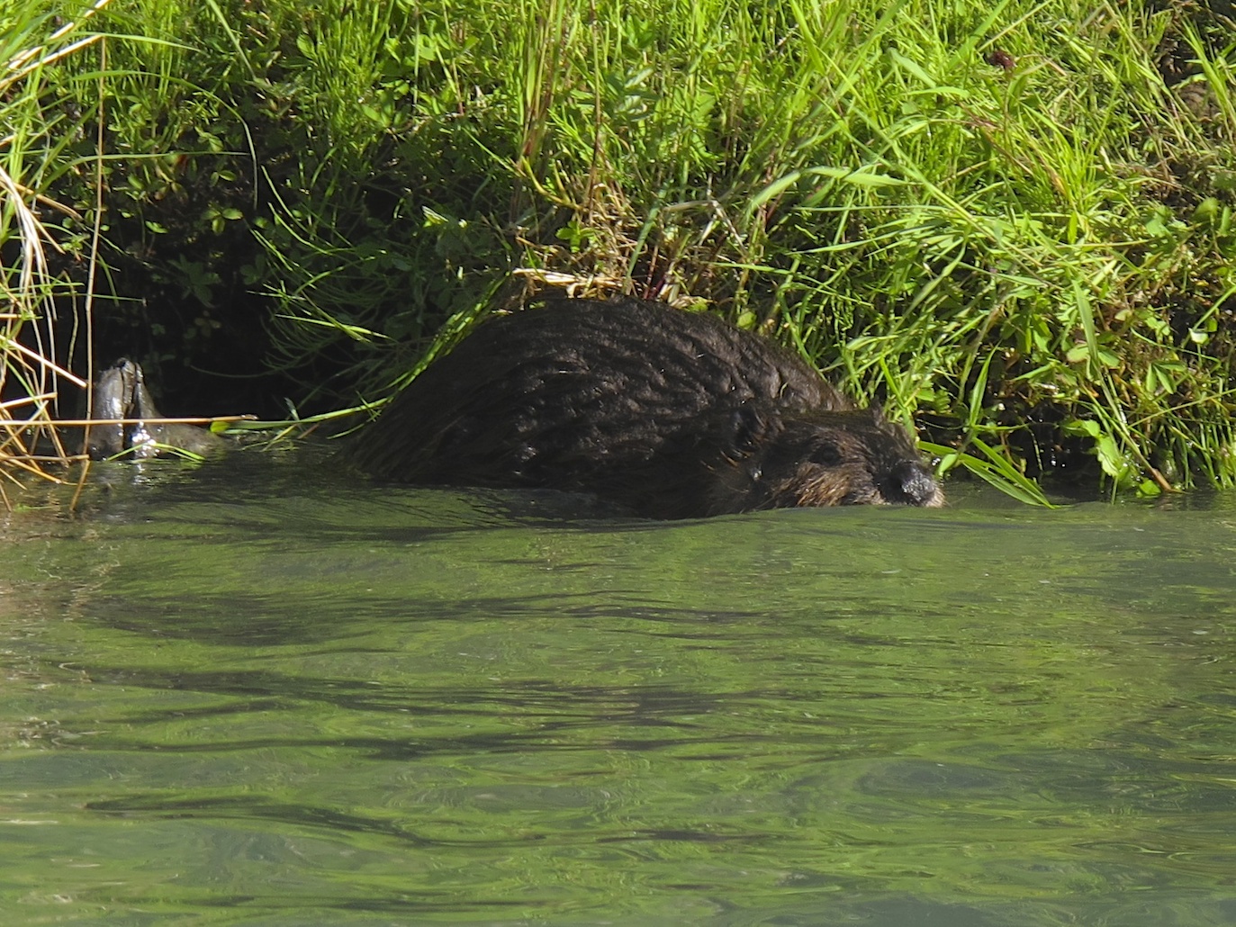
Beaver
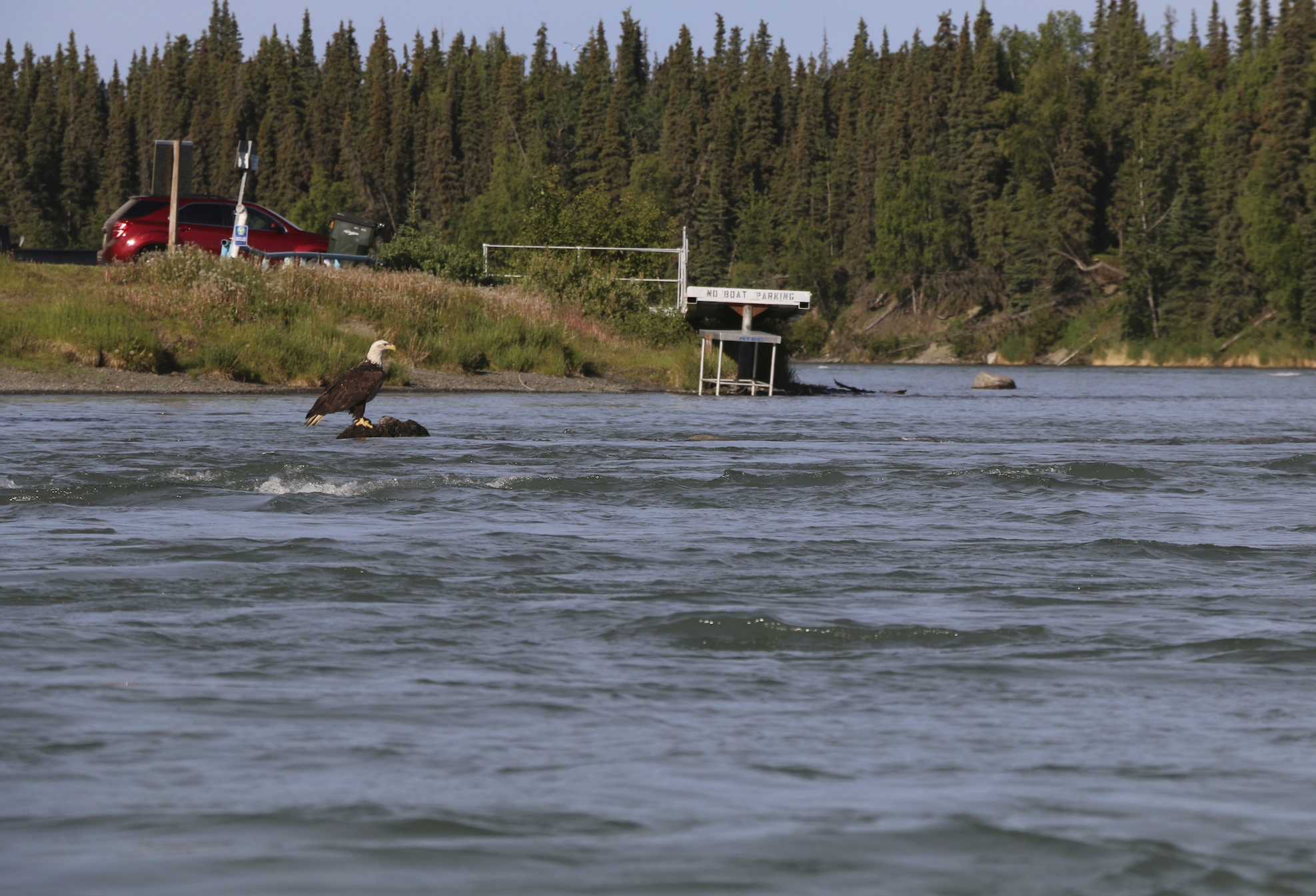
Bald Eagles are a common sight
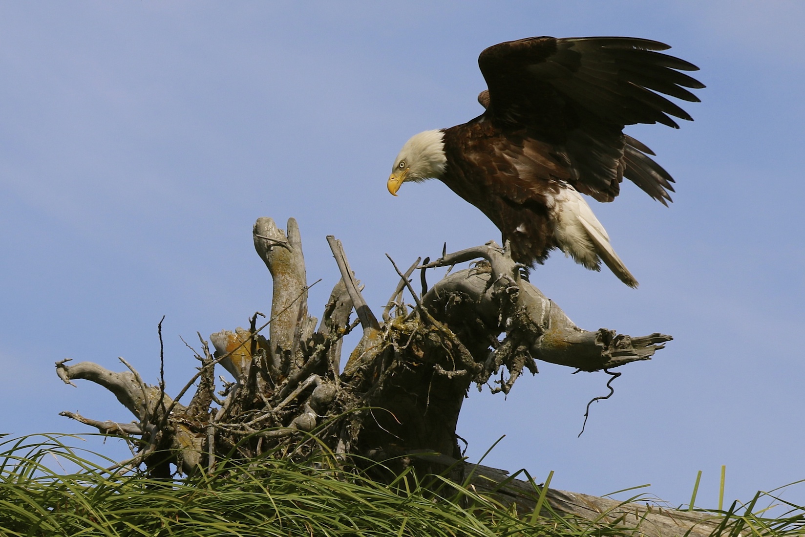
Bald Eagle on “The Pasture” near the river mouth
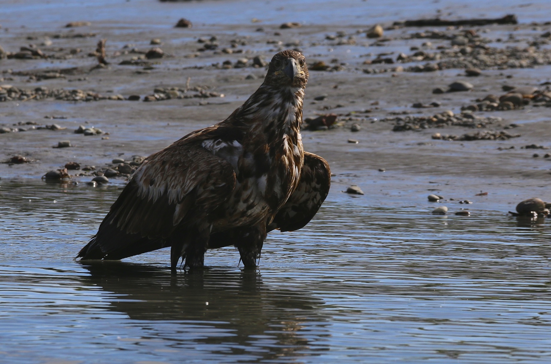
Immature Bald Eagle near the river mouth
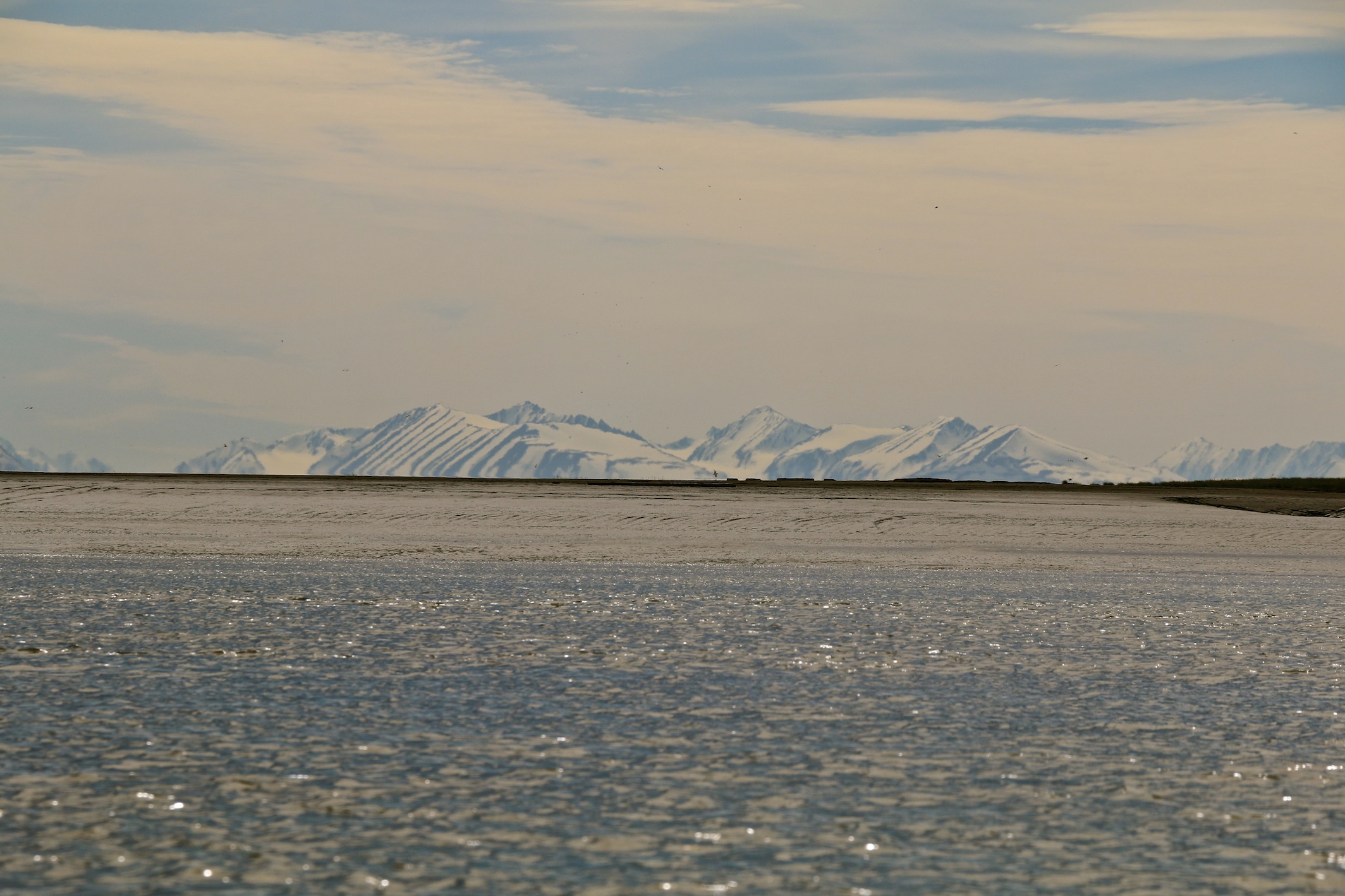
As you get down river into the tidal affected areas, the river begins to remind me of the Bay of Fundy in Nova Scotia and New Brunswick with the large muddy banks, large mud flats, and muddy coloured water. It’s just not not red. There are very large tidal ranges here, around 20 feet (6 m).
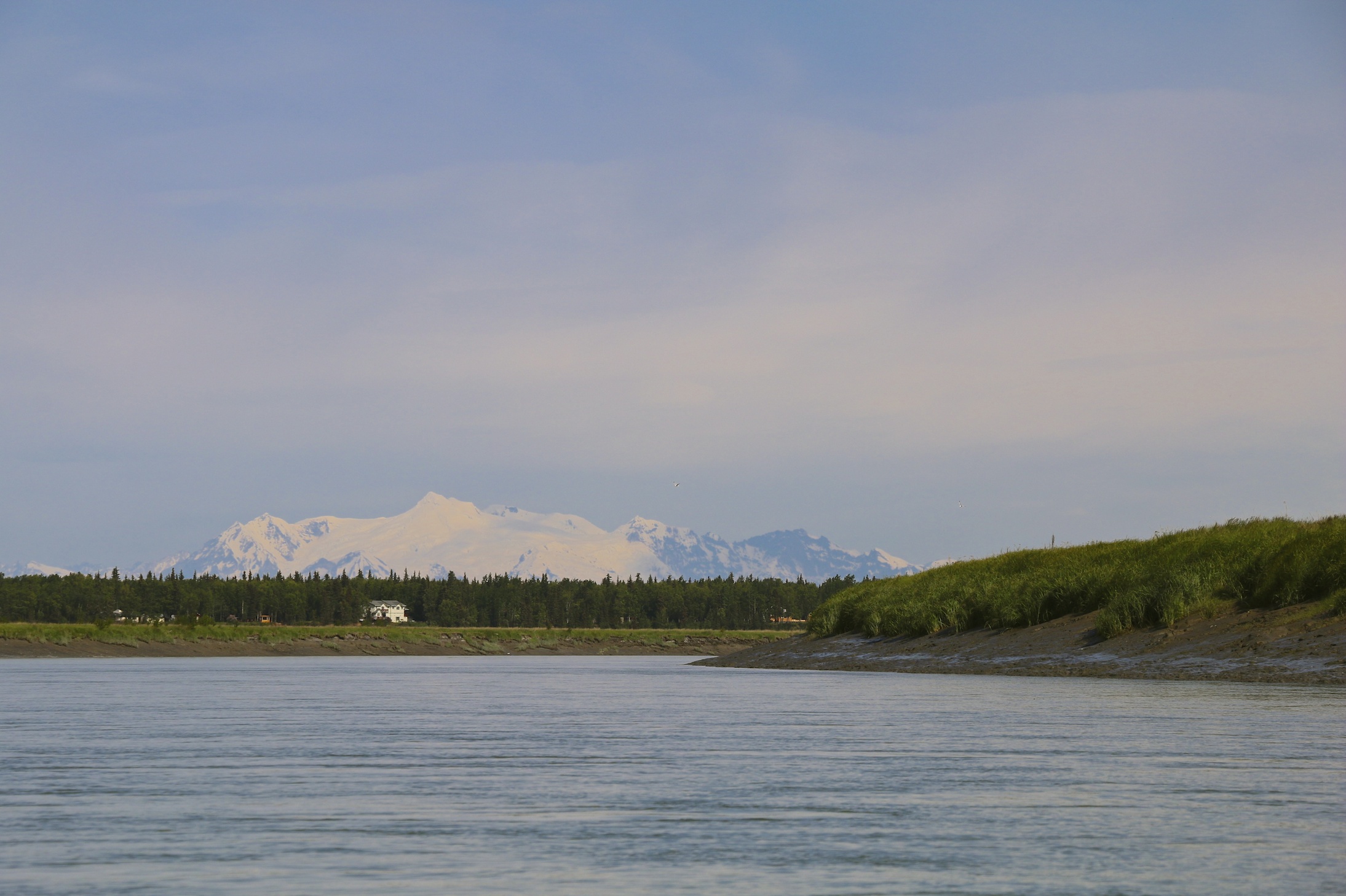
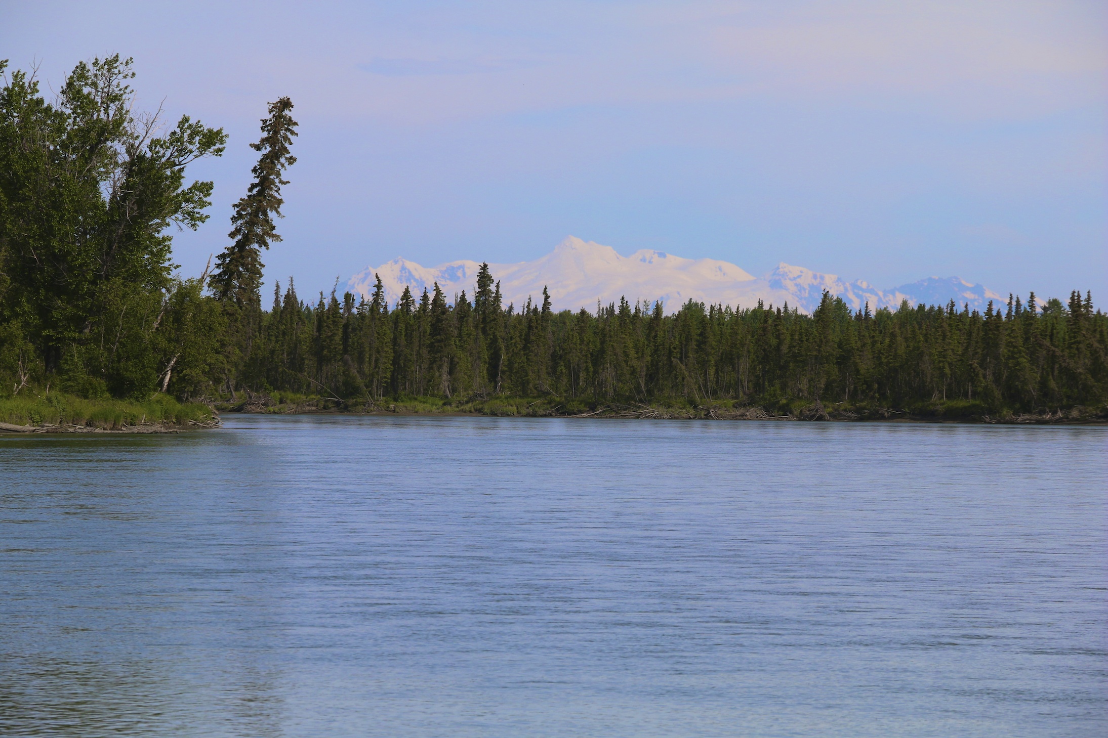
Mt Spur comes into view near Kenai
Mountains, Mud & Water
Large tidal fluctuations are apparent as you approach the river mouth near Kenai
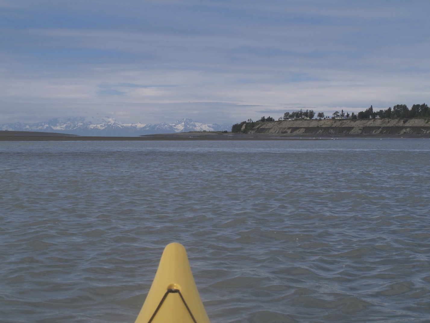
Approaching the end. Kenai is to the right.
What are the best put-in and pull-out points on this route? How long did it take you to kayak from Soldotna to Kena?
Hi Kathleen, It has been a long time since I did that trip, but I put in at the Swiftwater Campground – that is an easy launch. You probably could also launch at Soldotna Creek Park. the trip is aoubt 20 nautical miles and depending on the flow of the current and the the direction of the tide when you get further down the river, it will probably take 3 1/2 to 4 hours, maybe more. I took out Kenai beach as the road access there is quite close and it is a gravel bar. You could possibly take out at the City of Kenai Boat Launch further in, but I would check tides for that as it could be very muddy if the tide is too low. A great paddle and I hope you get the chance to do it. Cheers! Bruce