A Side Trip to Atlin, BC
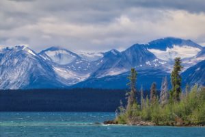
We were originally planning to head down to the village of Atlin, British Columbia’s most northerly town, to do a short kayaking trip in Atlin/Áa Tlein Téix‘i Provincial Park. Sadly, the weather was uncooperative so after aborting the kayak trip we thought we should at least drive down and have a look at this beautiful area. In spite of the weather this stunning little community definitely lives up to its name as the Switzerland of the North!
Atlin is about 109 miles/176 kms from Whitehorse, YT taking about 2 ½ hours to drive on paved and chip seal road. The current population is about 450 full-time residents. However, one of the largest gold strikes of the Klondike Gold Rush was found near Atlin in 1898 and the population during that period was around 10,000! Many buildings from that era still exist and there are still some gold mining operations working in the area. The total placer gold production for the area has exceeded $23,000,000.
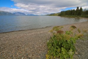
Atlin is situated on the shores of Atlin Lake, the largest natural lake in BC. The lake runs from the Yukon border south for about 85miles/136 kms and but on average it is only 4miles/6.5 kms wide.
An Exotic Tourist Destination of the 1920’s
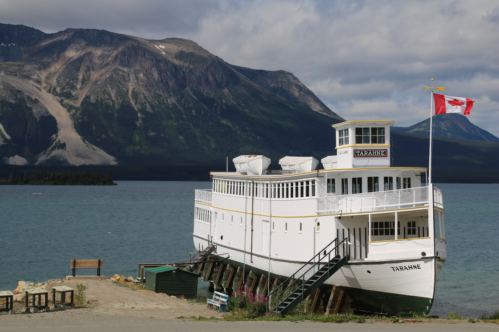
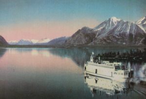
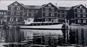
By the 1920s, Atlin became popular as an exotic tourist destination. It was known as the “Switzerland of the North” because of the spectacular mountains surrounding it and crystal clear lake. While you can drive there today, thanks to the road completed in 1951 by the Canadian army, back then you would have had to take a trip up the Inside Passage along the BC Coast and Alaska Panhandle to Skagway. At Skagway you would take the White Pass & Yukon Railway to Carcross, and from there you would have boarded a paddle wheeler sailing southward on Tagish Lake to Taku Landing. There, you would take the Taku Railway, a tramway and the World’s Shortest and Most Expensive Railway ($2 for 2 miles) across to Scotia Bay on Atlin Lake. Then you’d take the MV Tarahne 4 miles across the lake to Atlin.
Atlin Today
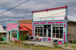
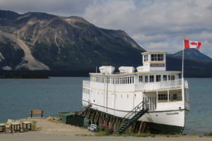
Today Atlin survives on tourism and still supports the placer mining in the area. A lot of the historic buildings have been restored and there is a solid community of artists with a number of interesting galleries and gift shops. The MV Tarahne still exists and has been fairly well preserved and sits on the waterfront. Another interesting boat from the era, the Atlinto is also partially restored and on display beside the Tarahne.

Kershaw’s Hardware, now a private residence restored to look like the original store complete with displays in the window!
The Boats That Sailed Atlin Lake
The MV Tarahne was designed and built by British Yukon Navigation Company (BYN), a division of the White Pass & Yukon Route, in 1917. The Depression that followed the stock market crash of October 1929 killed the Atlin tourist trade, and in 1936 the Atlin Inn, another YP&YR business, was closed, the furnishings sold off, and the buildings boarded up. The following season, due to a lack of business for a large boat, the Tarahne was replaced by the launch Norgold, purchased from the Norgold Mining Co. In June 1958, Tarahne was beached at Atlin.
The MV Atalinta was built in 1906 and was used for scenic tours of Atlin Lake and hauling supplies & freight from the Talu Tram at Scotia Bay. She was beached in the fifties. The Atlinto changed hands several times and in 1926, she was sold to Gagne Piledriving & Transportation Company of Courtenay, B.C. She was beached in Atlin in the 1950’s.
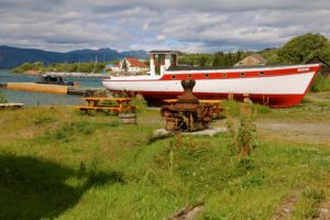
The MV Atalinto today – the red roof building in the background is the old hospital made from the south wing of the old Atlin Inn, closed in the 1950’s.
Warm Bay & Warm Springs
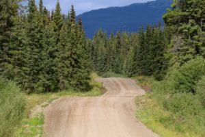
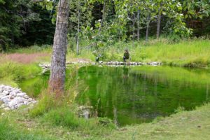
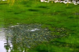
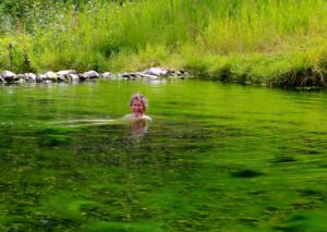
If you continue south from Atlin on Warm Bay Rd, which eventually becomes gravel, you will find a few BC Forestry Recreational Campsites, including Warm Bay which is a large gravel beach providing easy launching for trailered boats or paddle craft. This would be the put-in for exploration of Atlin Lake Provincial Park. A little further along you come to ‘Warm Springs’. The springs bubble up from the bottom of a pond and form a large pool, which has been built up to increase the size and depth of the pond. The Warm Springs are not hot, not even really warm, but certainly comfortable to get into. Of course, if you are going to visit a spring like this, hot or not, you have to go in!
Discovering an Old Steam Powered Dredge
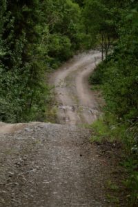
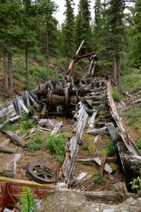
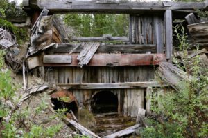
On our way back we turned right at the junction of Warm Bay Rd and took a side trip out to the old Discovery town site, and an old dredge site. Much to Linda’s dismay, a lot of the road to the dredge is a barely passable trail only suited to 4×4’s. However, the dredge is really interesting as it is still fairly intact. The other remarkable thing about it is that it is located in a spot you wouldn’t expect to find a dredge, which is nestled in the forest, up on a hillside, far from the river.
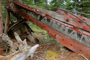
The dredge lying here was a steam powered floating dipper dredge, quite unlike the bucket chain dredges we have seen up in Alaska and Dawson City. This particular one was built by the Fairbanks Steam Shovel Company in Marion, Ohio.
The lack of a consistent water supply hampered hydraulic mining operations in the Atlin area, so a crib damn was built across the outflow of Surprise Lake and this piece of equipment was used to create a 6’ deep diversion channel 5 miles long and 126’ wide. The water from the channel was put through a pressure box to supply the hydraulic operations on the creek below and the dredge was left to rot. This is why the dredge is located up on the hillside.
For more images and more history on this amazing dredge, check out our post: Mystery Dredge in Atlin BC
More Photos
To see more images or purchase photos for websites, prints etc, click this link: Atlin, BC





Hello, I have just discovered your blog on “Search Google for Image”. Thank you for visiting Atlin and for writing about us. It appears that you have used some photos from my website, http://www.discoveratlin.com. I clearly wish: All photos are mine unless stated otherwise. Feel free to use my photos if you give the following photo credit ©Carolyn Moore, Atlin BC Canada. Photos by others may not be used without their permission. Carolyn Moore
Hi Carolyn, My apologies. I have found one of your photos which is the b&w Atlin Inn & MV Tarahne and have added the credit. The rest of the photos from what I can tell are ours. Please advise if there are any others you believe are yours.
Cheers!
linda & bruce
Great town by the way!!!