Kayaking on the Edge of the World
A kayaking trip to west coast of Haida Gwaii has long been on my bucket list of things to do. Before we started actually planning this particular kayak expedition, my good friend Dugald, who is part of this adventure along with his partner Heidi, began discussing the theme for his life this year, and that is, ‘Recognizing the Expiry Date’. I will quote him directly here and as I get closer to the end of my 5o’s, it seems pretty relevant. Dugald puts it this way; “It seems that everything that I might want to do in my life has an [expiry date]. It might be a worn down body, it might be a shrinking comfort zone, it might be reaching the end of my mortal coil.”
In deciding to paddle the west coast of Graham Island, this ‘theme’ was particularly appropriate. With all of us in or nearing our 6th decade, were our bodies, minds and paddling skills up to the demands of a 3-week adventure on a particularly rugged and exposed coast like this. Dugald and Heidi had spent some time on part of this coast 20 years ago, and my last time in Haida Gwaii was over 30 years ago with the Brian Henry, the Big Kahuna of Ocean River Sports, before Ocean River was even conceived, and five others. We paddled the entire length of the more sheltered east coast of Moresby Island and back, but even that had it’s challenges.
Haida Gwaii literally means “Islands of the Haida People”, and it is a truly remarkable place, quite different from the rest of coastal BC. Even the First Nations people, the Haida, who lived here, were all one people and different from those found on the rest of the coast. The land, its isolation and the conditions here created that. Haida Gwaii is also called the ‘Misty Isles’ and if you ever decide to go there you will understand why.
The west coast of Haida Gwaii truly appears to sit on the edge of the world and its weather is notoriously unpredictable, even in the summer months. However, in reality our biggest concern leading up to this trip was the drought that was occurring on the west coast. We were more concerned with whether or not we would find adequate supplies of fresh water than whether or not we could deal with the rough paddling conditions. As it turned out fresh water was the least of our worries as we counted only 2 days out of 19 on the water without some measurable precipitation. The Misty Isles indeed! Fortunately, years of combined camping experience, good gear, awesome food thanks to Heidi, and a great mindset among us all made the continually wet conditions bearable and maybe even okay.
Preparation
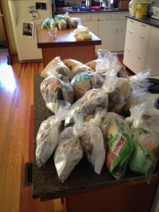
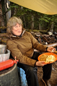
The logistics of a 3-week paddling trip to the west coast of Graham Island are not insignificant. Fortunately our team was up to the task, Heidi took on the food prep. Her many years successfully running the Pacific Rim Paddling Company meant we were going to eat extremely well on this trip. 9 lbs. of pork, fresh vegetables for most of the meals, and all dehydrated at home. Meals like falafels, jambalaya with fresh fish or dried pork, fresh fish or machaca (rehydrated dried meat) tacos, pasta with fresh fish or pork, fresh cabbage or carrot salads with each dinner all served, of course, with red wine. Deserts of stewed fruit with dumplings, rice pudding, chocolate, and once in a while, rum or spiced rum or brandy to finish it all off. Decadent you may think, but food can make the trip, especially one where you can find yourself trapped with each other under a tarp for days. Good food can bring a group together with the shared experience of prepping, cooking, cleanup and of course enjoying a delicious and hearty meal.
Getting There
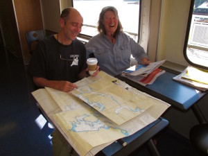
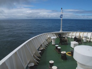
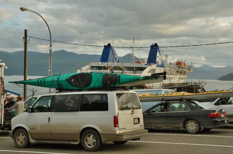
There are a couple of ways to get to Haida Gwaii with kayaks and gear. One is to drive to Port Hardy on Vancouver Island and take the BC Ferry to Prince Rupert, roughly 18 hours, and then across to Haida Gwaii. Our choice, which is more economical, was to take BC Ferries to the mainland, drive for 2 days to Prince Rupert, then take the 7 hour ferry ride to Skidegate on Graham Island.
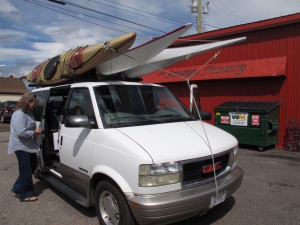
Snack break in Smithers at the Smither’s Sausage Factory – not to be missed!
Our planned departure point of the actual kayaking portion of the trip was to leave from Kiusta at the northwest tip of Graham Island. To reach there, we drove 1 ½ hours north from the ferry terminal in Skidegate to Massett at the northeastern tip of Graham Island. There we were to meet our water taxi and a driver who would take our van and park it at the take out in Rennell Sound.
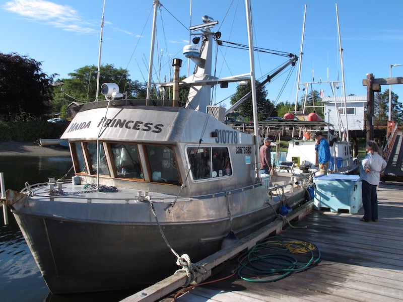
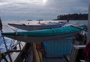
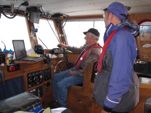
Here’s where we had a major glitch. Arriving in Massett around 7 pm we found that our charter boat was having transmission problems and wouldn’t be able to take us. This was a conundrum. I should mention that there aren’t any official water taxi services or charter boats that take kayakers out on this part of the islands. You have to make your own arrangements with someone with a boat big enough to carry your kayaks and gear. Dugald had originally managed to arrange to charter a fishing boat through a third party, Stan Hansen. We didn’t have time to paddle from here to Kiusta as it would add a few days to the trip we didn’t have, and along a coastline we weren’t all that interested in paddling. Slightly stressed we left the docks and drove over to see Stan and see if he had any other options for us. Stan is an amazing fellow, a commercial fisherman, guide and owner of the fishing boat, Haida Princess. As it turned out, he and his wife May (the first female hereditary chief of the Masset people), didn’t have anything to do the next day so they offered to transport us to Kiusta themselves, a four hour trip one way!
We loaded our kayaks and most of our gear on the Haida Princess before heading to a nice rustic cabin we had rented for the night at North Beach. In the morning we would set off for the western edge of Haida Gwaii.
The Kayak Trip
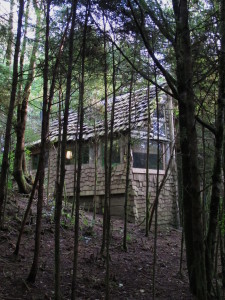
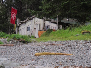
Kiusta is ancient Haida village located on the passage between the northern tip of Graham Island and Langara Island. There is a Haida Watchman’s cabin here maintained by two Haida Watchman who also perform federal fisheries work in the area, (there are a lot of fishing lodges across the channel on Langara). It was a great experience traveling with Stan and May, both incredibly nice, very interesting and knowledgeable people and of course they know everyone out here, including the Haida Watchman, who were gracious enough to allow us to temporarily store our gear in their cabin as it was threatening to rain as we arrived. They also let us use the cabin to cook our dinner while they were off doing fisheries stuff and let us camp on the beach that night. This I should mention, is generally not permitted in village sites. To top it off they also gave us permission to stay in the Haida cabin around the point in Lepas Bay, which was a godsend as it rained and blew most of the 2 days and night we were there.
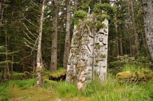
There are still some ruins to be seen at Kiusta, some house posts and fallen roof beams as well a very unique triple mortuary pole of Chief Edenshaw (1839-1920). We spent a pleasant afternoon exploring the village site and hiking over to Lepas Point with Stan and May, where we would paddle to the next day.
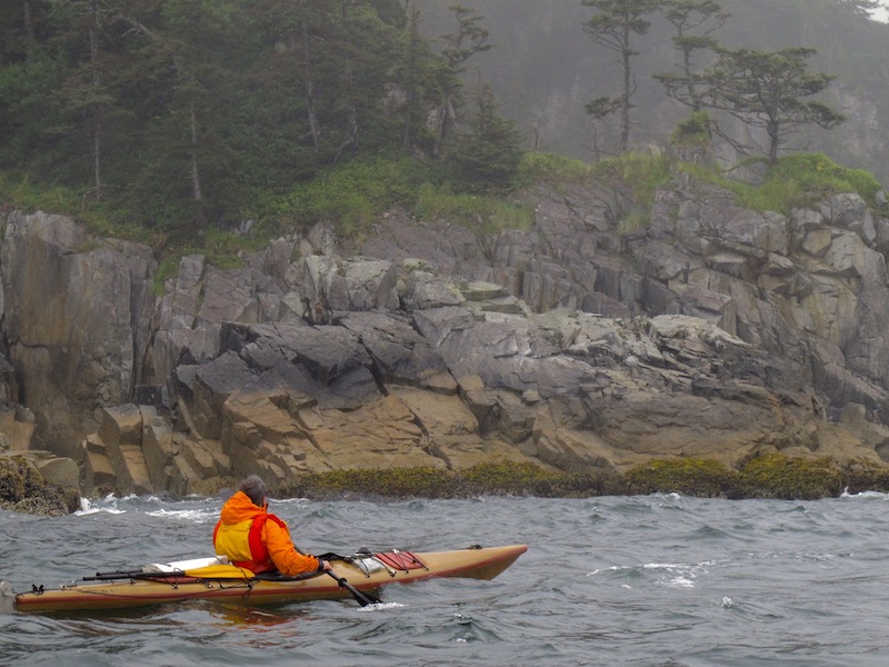
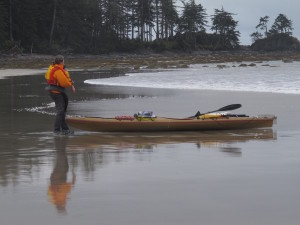
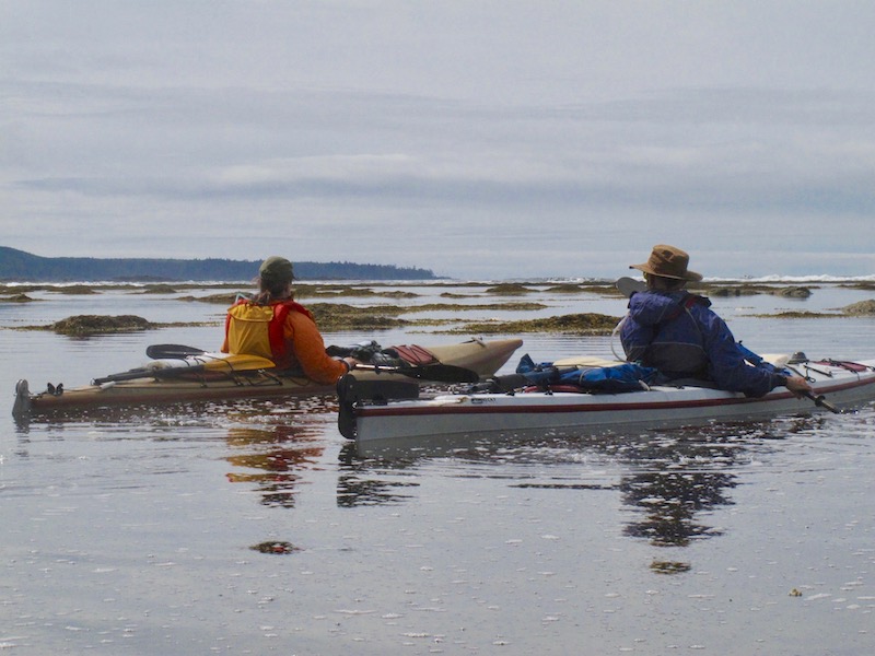
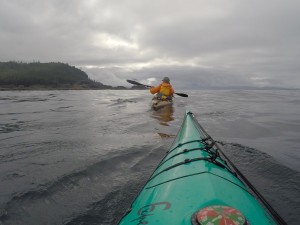
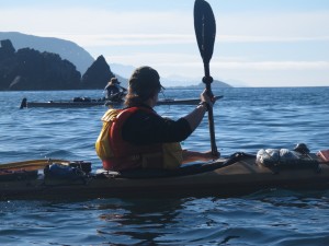
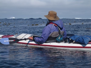
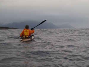
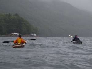
The big question before setting out for Lepas Bay in the morning was whether or not all of our gear would fit in the boats. Three weeks of food and gear meant a lot of stuff needed to fit in the kayaks. Fortunately our concerns were unfounded. The paddle down Parry Channel in misty rain was easy, but conditions off Cape Knox were pretty lumpy and confused. There was a lot of surf on Lepas Bay created from the 2 to 3 meter swells rolling into the coast at the time. However, the Haida Watchman advised us of a sheltered approach to the beach. Nothing substitutes for local knowledge! I love playing in the surf in a kayak, but surfing a fully loaded 19’ kayak onto an unknown beach in a remote area is something I prefer to avoid if I can.
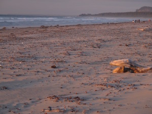
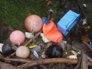
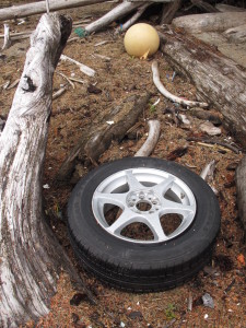
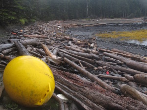
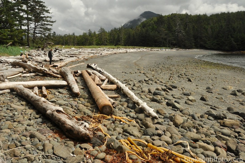
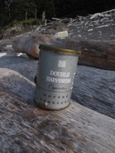
Once we were settled in the Haida cabin it was time for a little beach combing. Sadly, but very interesting, is the amazing amount of debris washed up on the west coast beaches of Graham Island as an aftermath of the 2011 Japanese tsunami. Everything from plastic water bottles and fish floats to aluminum wheels complete with inflated tires. Pretty much all of the beaches along this coast are covered with this stuff. On the plus side there were a lot of plastic fish baskets that made for some handy beach furniture. Despite all of this debris and a lot of intense beach combing, we found only one Japanese glass fishing float.
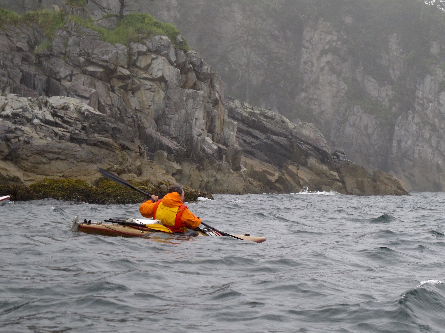
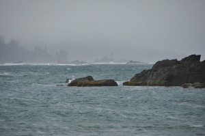
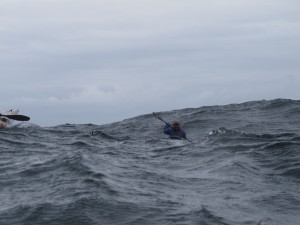
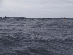
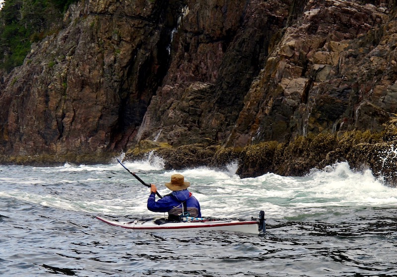
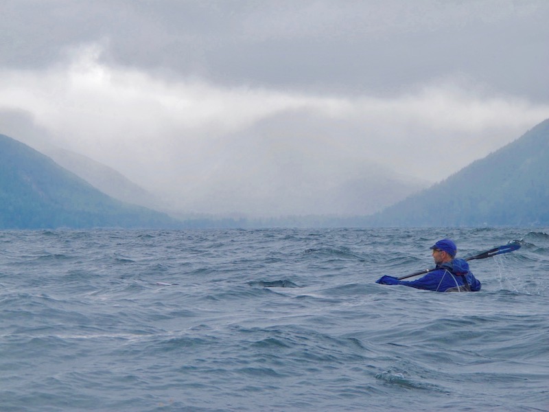
After 2 nights, we were forced to wait another half-day for the wind to subside before leaving Lepas Bay, and we only had a brief window of a day or so before the next weather system was to blow in. This gave us time to slip around Lauder and Sadler Points into Sialun Bay, a huge bay with enormous sandy beaches and a river cutting through its center. Rounding Lauder Point on our way there, we experienced the roughest sea conditions of the trip. A large 3-meter swell was forming up into huge breaking waves on the rocky reefs off shore. Combined with rebound wave action off the point there were some seriously large and confused seas conditions that required constant attention and some serious tightening of the sphincter.
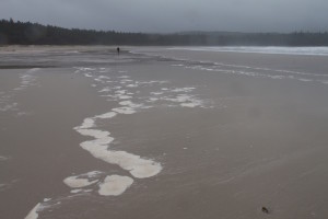
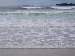
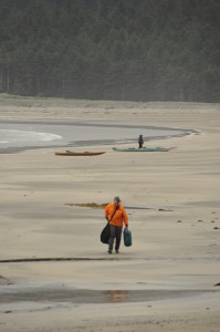
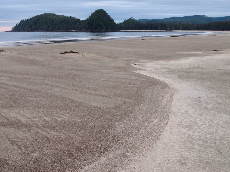
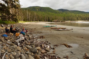
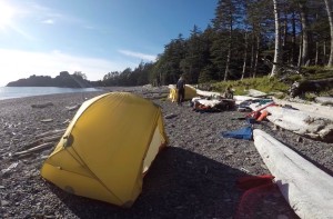
The surf landing at Sialun Bay was unavoidable but fortunately, although a good size, it spilled fairly gently onto the broad sandy beach. Once on shore we gratefully began unloading our kayaks in preparation for the hike up the beach. It was low tide and our campsite was about a ½ km away, 3 trips each to get gear and boats up. That’s 3 km of hiking added to the days paddle.
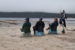
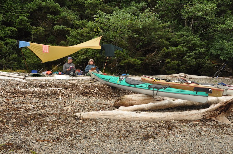
Have I mentioned that the weather is rather unpredictable in Haida Gwaii? We spent the next three days on Sialun Bay waiting for the wind and rain to subside. However, on a more positive note, that gave lots of time for exploring the beaches, taking pictures and doing some reading and relaxing.
Finally, on the fourth day, we were able to depart through small surf and head down the coast to a beautiful campsite at the base of Beehive Hill in Peril Bay. Passing White Point on the way was interesting as there was a maze of low lying, kelp covered reefs extending a long way off shore. In the distance you could see the surf breaking on the outer edges of the reef. It would have been nice to find a passage through the reefs, but in the end we decided the only feasible route was to paddle out and around reefs, beyond the surf line.
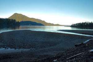
Peril Bay was once a Haida village and like so many native village sites, you can easily see why they were chosen. Tucked away in a cove at end of an expansive beach and protected from the open ocean by Frederick’s Island it is a perfect spot. The conical beehive shaped hill once had a trail leading to its summit providing an emergency refuge from attacks by marauding tribes.
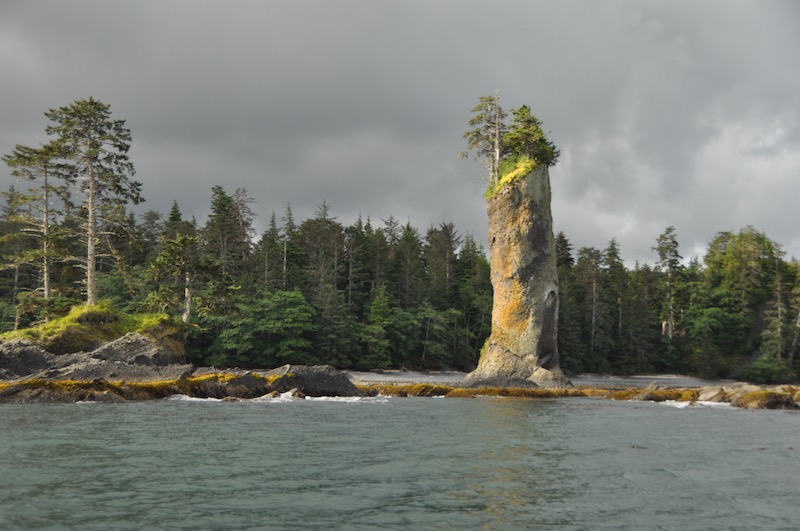
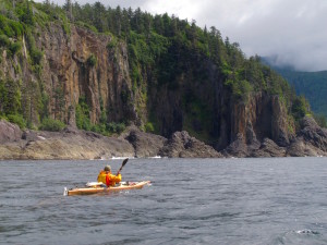
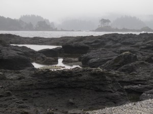
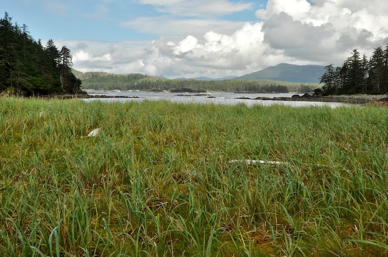
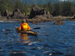
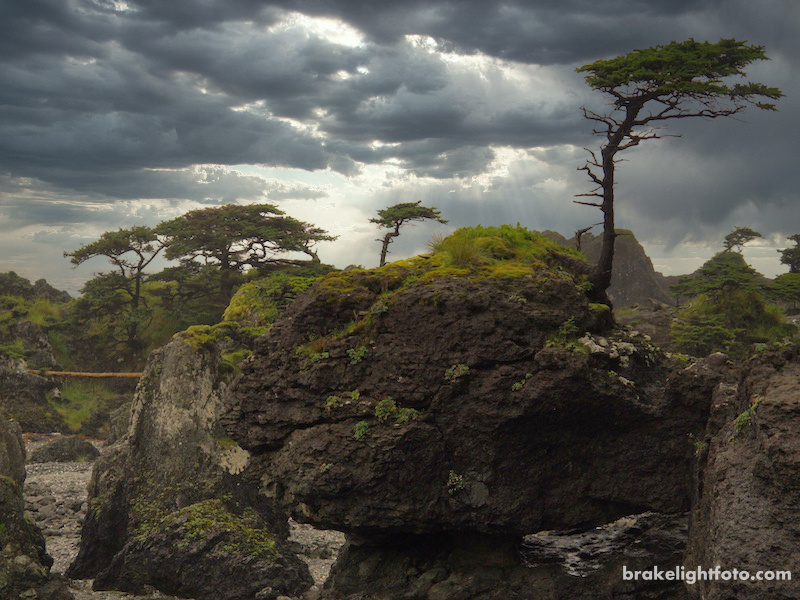
The west coast of Haida Gwaii is incredibly rugged. Its rocky shoreline is punctuated here and there by bays with large sandy beaches. The land in the northern portion of Graham Island is much less mountainous than the southern portion of the island, but there still aren’t a lot of places to get out and campsites are few, so good preparation, having good charts and constant attention to the weather was essential.
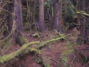
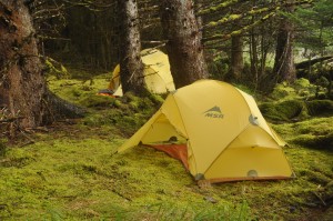
The next decent campsite was a few miles down that coast at Joseph Creek at the end of Ingraham Bay. There is an extensive beach wrapping around the entire end of the bay cut by Joseph Creek in the northern quarter. Despite the beautiful beach, this camp involved working our way back into the forest and clearing a bit of dead-fall and brush to create a couple of small tent sites. Carrying a small collapsible saw and a small machete was invaluable for times like this.
Our departure from Joseph Creek was once again damp followed by a few hours of slogging through 10-15 knot headwinds and rough seas around Tian Head on our way to Tian Village. The Tian Islets, just off Tian Head, were particularly spectacular and rugged looking on a windy and misty day like this and form a sheltering break for Tian Bay. We stopped at the village site for a lunch break and to explore, hoping to see some remnants of the old village. Dugald was here over 20 years ago and remembers some house and pole remains, but sadly, we could find no trace that the once large and thriving village was ever here. Things, especially wood and open spaces, do not last long on this coast. We found a decent campsite on a large gravel beach at Blue Creek on the northeast end of Tian Bay a short distance away.
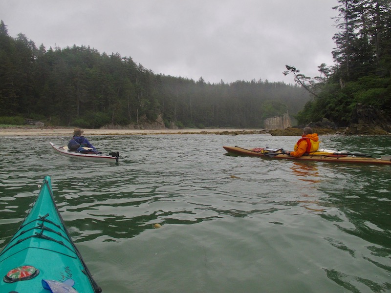
A relatively short paddle the next day brought us to Breton Bay on the northwest end of Port Louis, just inside Chanal Point. Port Louis is a beautiful, island studded bay, and is fairly sheltered, which probably accounts for the fishing lodge tucked away on the southern shore. The fishing boats passing by were the first people we had encountered since leaving Kiusta nine days previously.
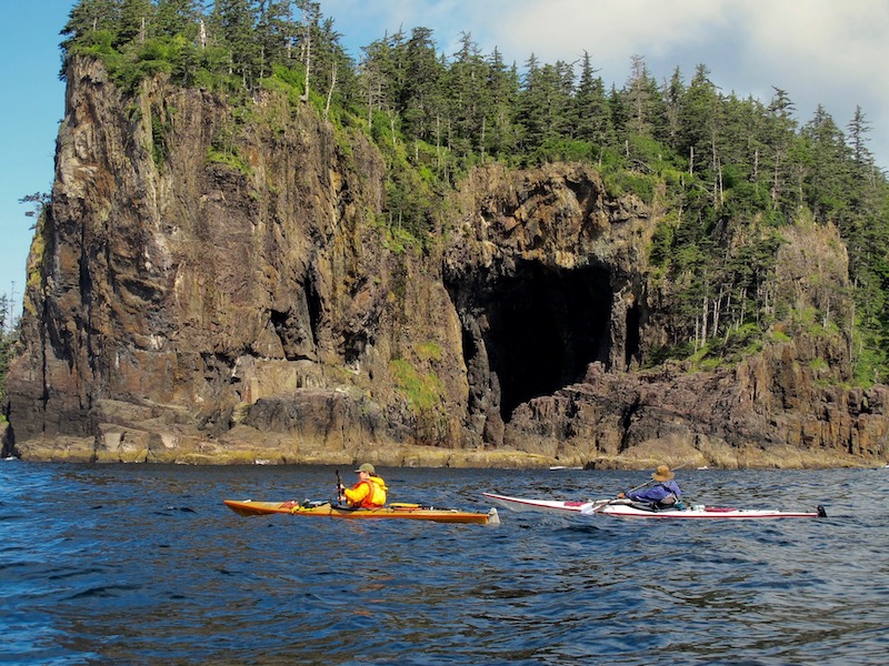
Next stop, Cave Bay at the outer end of Port Chanal, a beautiful, very protected bay tucked in behind a high peninsula. This would serve as a base camp for three nights, which would allow us to explore the area a little more thoroughly and with empty kayaks.
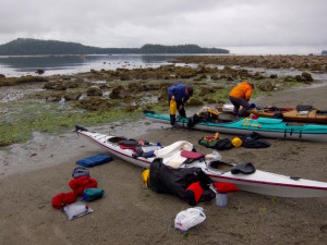
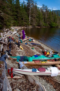
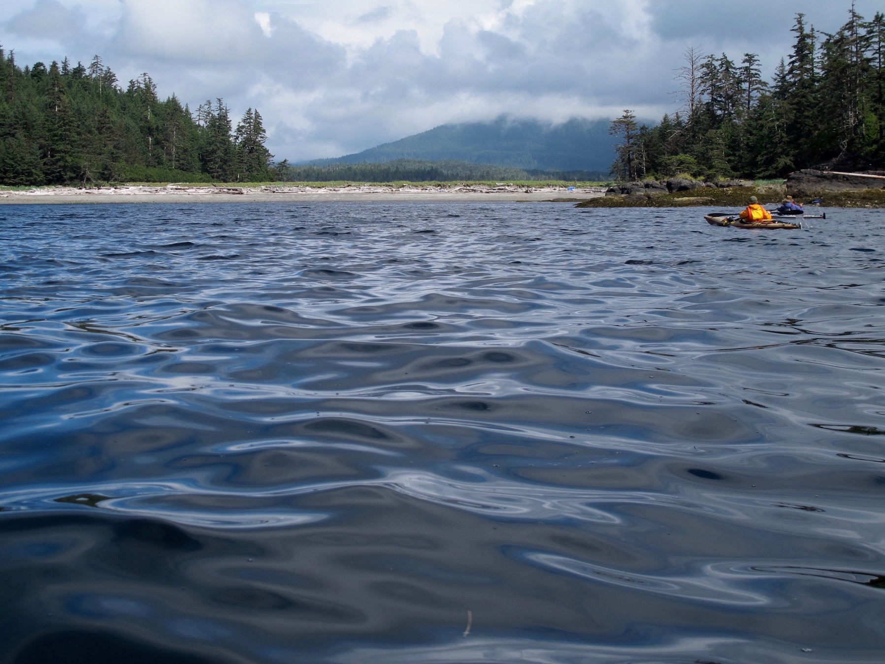
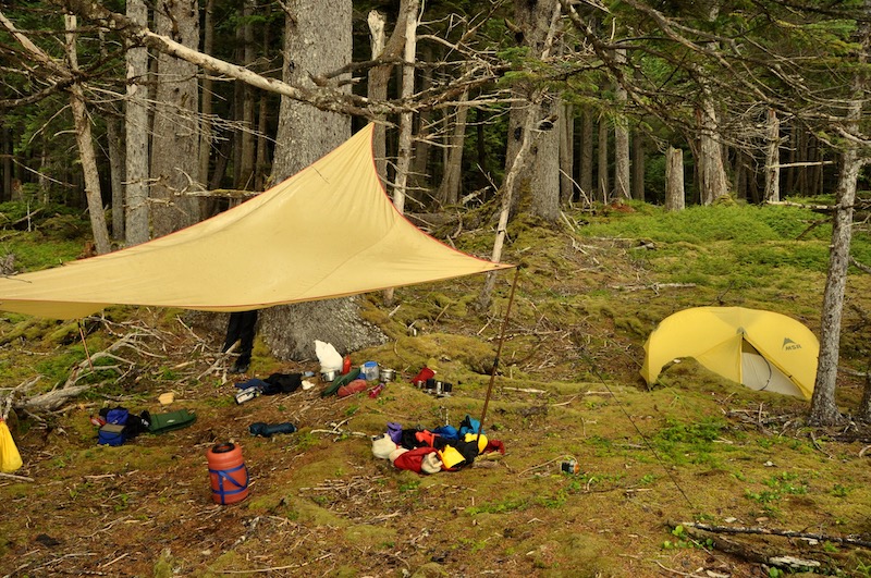
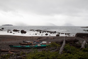
While the inclement weather never really let up, we were given some periods of respite with a few hours of sunshine here and there between the squalls that kept passing through. It was times like this that we took the opportunity to dry out our equipment, which resulted in an explosion of gear across the beach. In fact, it was such a colourful expanse of gear, one of the local fishing lodge boats diverted into the bay to check in on us and make sure everything was all right.
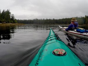
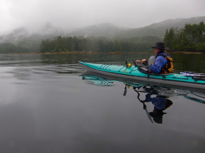
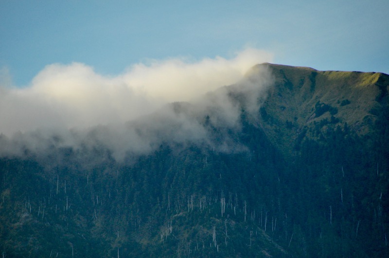
South across Port Chanal is Empire Anchorage, located at the mouth of Mercer Creek. Dugald and I set out on a misty, flat calm morning with low clouds clinging to the mountains to explore this area. We were hoping to find an old fisheries trail leading up to Mercer Lake, which is supposed to have some giant trees around its shores. Sadly, there has been a huge amount of blow down over the years and we could find no sign of the trail, and even if we had it would have been impassable.
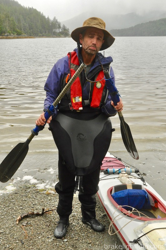
Tragically, while getting back in the boats where we had stopped to explore, Dugald snapped his lightweight carbon fiber paddle in half. However, accidents do happen and that is why we all carry spares!
The next day we were rewarded with some sunshine so we decided to paddle back north towards Gillian Point and Gillian Tombolo. A tombolo is a low flat grassy bar attaching an island to the mainland. This made an excellent spot for lunch and some beach combing. Dropping a hand line on the way back we were able to land a nice sized black rockfish for dinner. We found the fish much more abundant on this coast and generally much larger than anything we have been catching over the past few years off of the much more visited and over-fished Vancouver Island coast.
Bear Attack
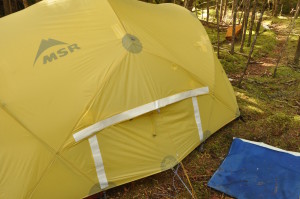
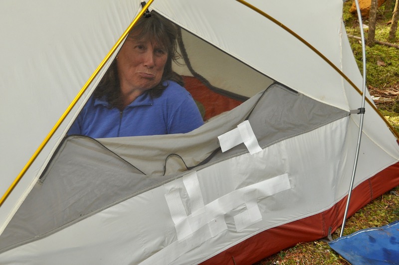
Cave Bay was the scene of a near disaster for us. While away exploring, a black bear decided to have a look in Heidi and Dugald’s tent. I guess he didn’t know about zippers, so he tore a huge hole in the fly and inner tent. Fortunately we had a supply of Tenacious Tape and Hurricane tape in our repair kit and were able to patch the tent up remarkably well. Well enough to get them through the rest of the trip in any event. Somewhat remarkable and very lucky that this was one of the first days of the trip when the tent was actually dry enough for the tape to stick!
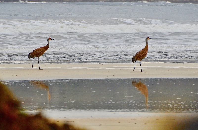
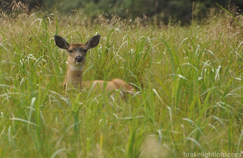
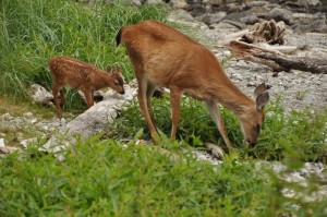
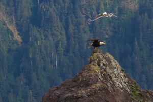
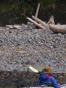
We never actually saw any bears on this trip, but there are plenty signs that they are around. We were always careful to hang our food and make sure nothing was left in the tents. On the other hand there are black-tailed deer everywhere, we saw them practically at every camp. Deer were introduced to Haida Gwaii in the 1920’s as a solution to feeding the Haida who were in desperate straits at the time. The deer definitively have established themselves now. Other wild life included sea lions and harbour seals, which we found far more timid than the ones back home on Southern Vancouver Island. We had a few brief sightings of Humpback whales, but mostly spouts. Bald Eagles were everywhere and we were fortunate to see a few Peregrine Falcons as well.
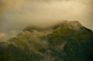
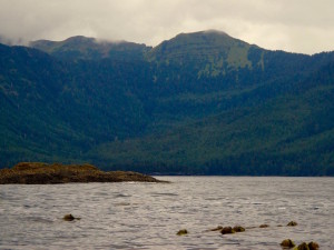
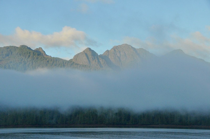
Nesto Inlet is the second inlet along this coast where sport-fishing camps have been established. Clients are flown into these locations by floatplane and helicopter. As we paddled through Hippa Passage we saw a number of lodge boats heading back and forth to the coast. We crossed the passage through some pretty steady rain and found a nice camp well around the point from Nesto Inlet. Through the rapidly fluctuating clouds we could see some spectacular mountains rising above the tree line behind our camp. Unlike most of the mountains we are familiar with, with their grey rocky peaks, the mountains here are all covered in low vegetation and moss, painting the bare peaks a spectacular emerald green.
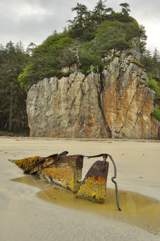
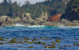
We departed our camp and exited Hippa Passage the next morning, on our first full, bright sunny day of the trip! We took a slight detour north up the west coast of Hippa Island to check out the wreck of the Liberty ship Clarksdale Victory. The ship ran aground on a jagged reef here in 1947 with the loss of 49 of the 53 crew members. There is not a lot left of it today as the intervening years and heavy exposure to the pounding surf of this incredibly rugged point have taken their toll.
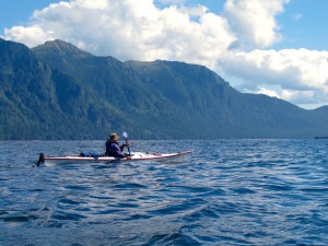
Heading south from the Clarksdale Victory wreck, we crossed spectacular Skelu Bay. 500 meter high mountains spiked with emerald green peaks surround the bay, and the waters on this incredible morning were a spectacular blue. Across the bay just past the Sadler Islands we found a very sheltered horseshoe bay with a large gravel beach and a nice stream tumbling in along one edge. On the way in Heidi hooked a nice lingcod, which would make a delightful addition to the evening meal. This spot warranted a layover for some additional exploration by foot and by boat. We headed into Skelu Bay for a little beach combing on some of the small cobble pocket beaches and the large sandy beach that lies at the head of the bay.
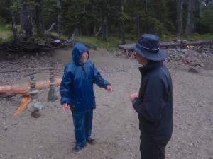
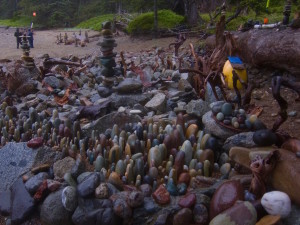
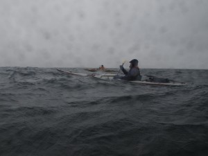
The final leg of our trip up Rennell Sound required some care as it is a long run, exposed to the southwest, with virtually no place to land along the steep mountainous shoreline. We paddled over 14 nautical miles in rain, 10-12 knot winds and 1-2 meter seas without a stop. Cold, tired and wet we landed through some low surf on a cobble beach and were met by a very interesting gnome-like fellow, Reinhold, who has made a camp here for the summer and entertains himself by creating some amazing rock art on the beach.
The Final Day
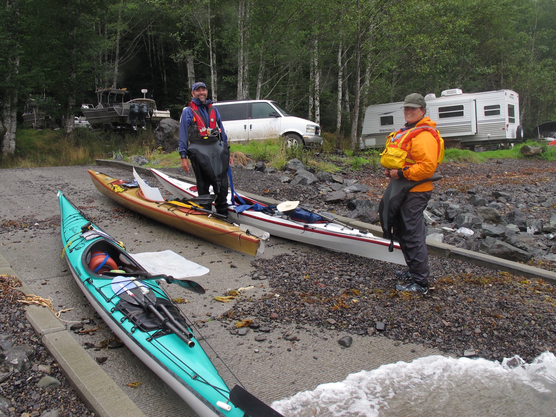
The following day we once again launched in the rain and paddled the final 8 ½ nautical miles, with a tail wind and following seas, to our takeout and final camp at the Rennell Sound Recreational Site. We were relieved to find our van parked as per our plan with our shuttle driver. Now back in partial civilization, surrounded by motorhomes and camper trailers, the rain finally ended and the sun came out revealing the true splendour of Rennell Sound.
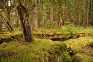
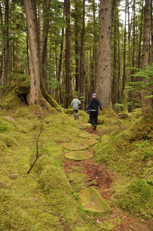
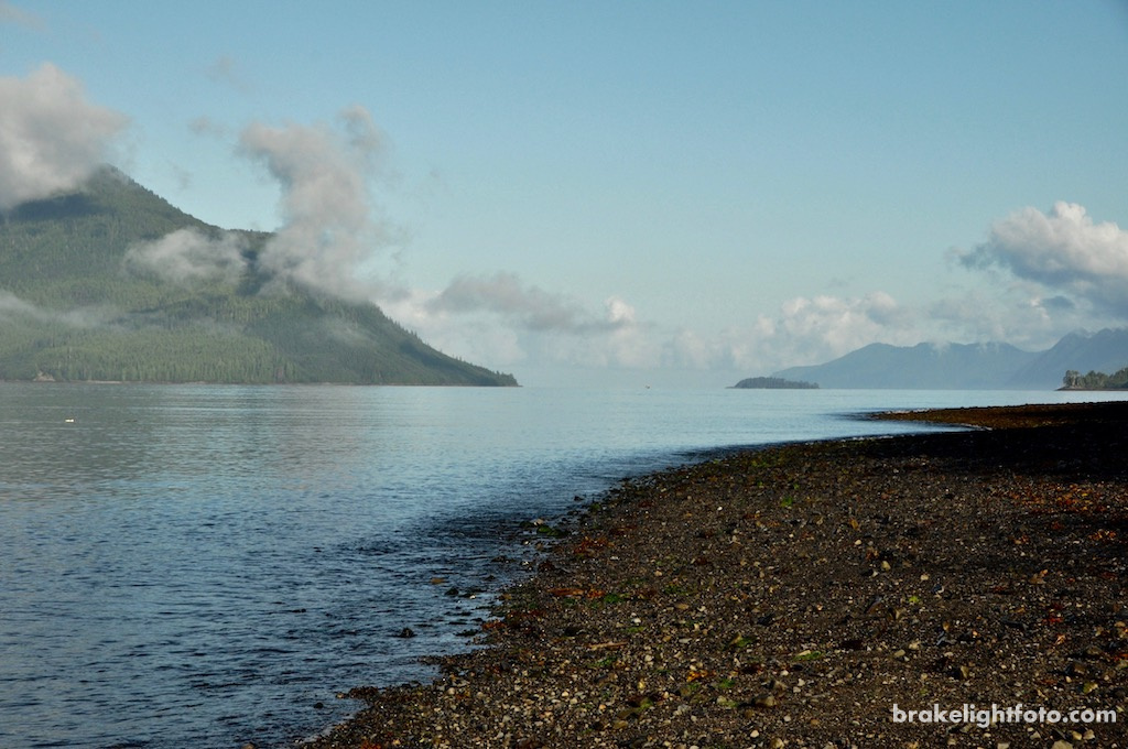
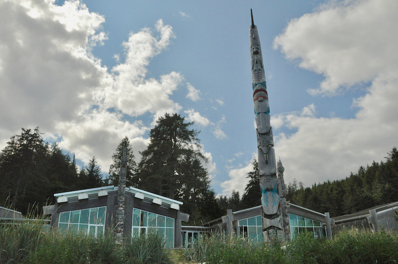
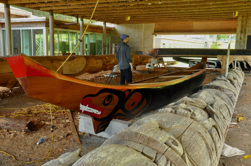
Our final morning in Rennell Sound was spectacular. It was nice to be able to get a look at what the sound actually looked like once the clouds lifted. We had a leisurely drive back into Queen Charlotte City where we had a look around followed by a short hike through a rain forest trail in Skidegate. The highlight was the Haida Heritage Centre , definitely recommended if you come here! We had lots of time to explore since we wouldn’t board the ferry till late evening for the overnight crossing back to Prince Rupert.
More Pictures
For more images of this Haida Gwaii trip or to purchase images for articles, websites, display etc, please check out our “Kayaking the West Coast of Graham Island” gallery at our sister website: Brakelightfoto


Hello there! I stumbled upon your blog when searching for Pacific Rim Paddling Company. I had the pleasure of taking a tour of Meares Island with Heidi and Dug back in August of 1989. I’m now 68 and living along the Eastern Sierra Nevada. I’ve been scanning many of my old photographs and came across my trip and was looking for an email address for Heidi and/or Dugald as I’d like to share some of the memories from that trip. You can respond via email or feel free to text my cell at 949-677-1152.
Thanks in advance,
Richard Bellomy