Gowlland Tod – Off the Beaten Path – Tod Inlet to the Partridge Hills
Getting off the beaten path in Gowlland Tod Provincial Park can be a little challenging, but it is very interesting and a lot of fun! There are many paths and hiking trails within the park. The main and most used trails are shown on the provincial park maps and signage posted within the park. However, there are many other trails which are not shown on these maps. These trails are still passable and are still being used, although to a much lesser degree.
To be clear, when I say ‘off the beaten path’, I’m not talking about bushwacking and trampling sensitive vegetation, but finding older trails that are no longer in regular use or being maintained by the park.
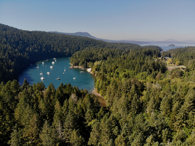
Gowlland Tod Provincial Park is located on the east side of Saanich Inlet encompassing a significant portion of the Gowlland Range near Victoria on Southern Vancouver Island, BC. It also includes a significant portion along Tod Inlet, running from Wallace Dr down to the location of the old cement plant on the north side and the entire southern and western shore. The Tod Inlet section connects with the Partridge Hills section of the Gowlland Range on the ridge above Tod Inlet, up above Durrance Lake Regional Park.
Are there trails connecting these two sections of the park?
I was interested in finding out if there were any hiking tails connecting these two sections of the park. The short answer to that question is, sort of. It appears that at one time in the past there were. However, today the connecting trails leading from the main path at Tod Inlet down to where you would have crossed Tod Creek are closed off and the log bridge crossing the creek has long since rotted and has been washed away.
Finding the trails
I chose to do some exploration on a dry September day to find where the connecting trails may have been. My first attempt was to hike down the Tod Inlet trail and take the path down to where it meets the head of the inlet. I thought that at lower tides I could cross here. Unfortunately the bank on the south side at this point is very high and pretty much vertical, so there was no way to get up onto the ridge from there.
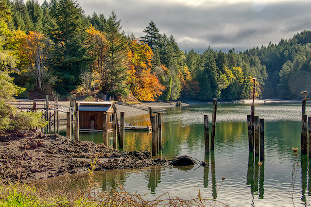
If you haven’t explored Tod Inlet you should, it is a beautiful park with a path leading down through the forest to the waters of the inlet. They have done a lot a work to improve the shoreline there since the days of the cement plant that once operated there including a sandy beach. There is a lot of history at Tod Inlet and while most of the structures of the plant and the surrounding housing and villages are gone, there is still lots of evidence of what once existed. Check out the post Tod Inlet, A Hidden Gem!
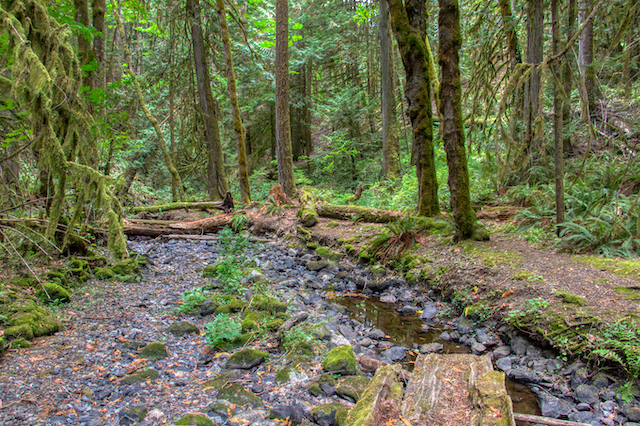
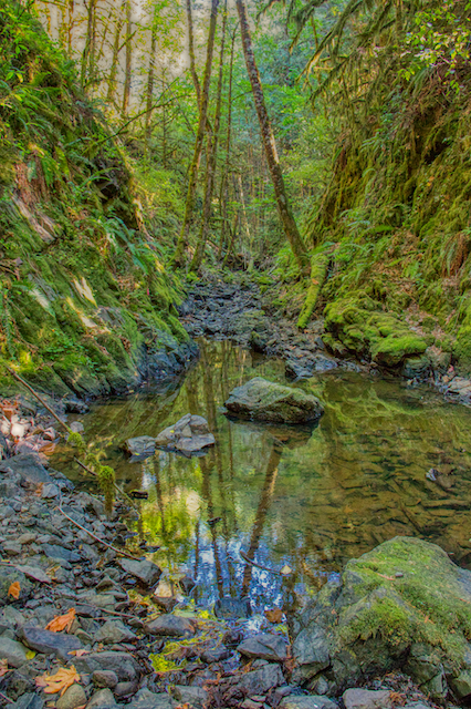
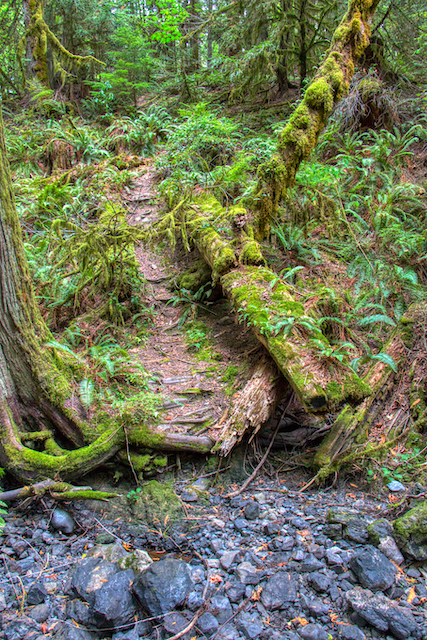
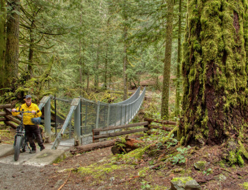
My next thought was to go back up to just below the waterfall on Tod Creek where there are some old trails leading down to the creek. These trails are currently blocked off from access as they are not maintained. However, since there was very little water in the creek at this time of the year I decided to hike back up the creek to that point. I eventually came to a place where the high bank ended and the land flattened out near the creek. This also turned out to be where the old trails led down to the creek. Poking around a bit I found the remains of a very large log which had metal anti-slip treads on it. This would have been the old bridge crossing the creek. From here I was able to locate a pretty decent trail heading south up the ridge.
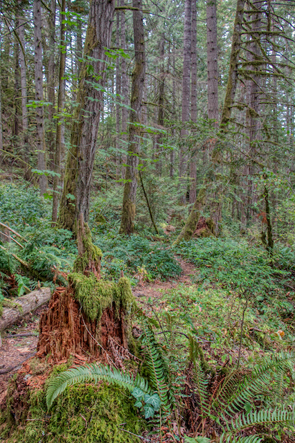
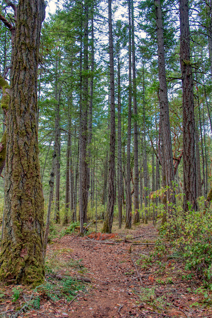
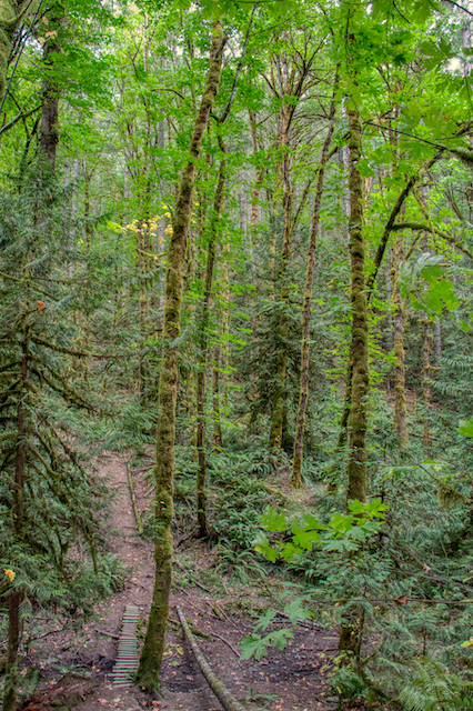
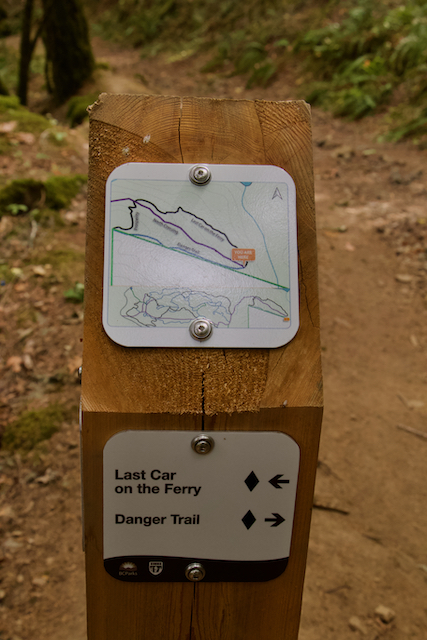
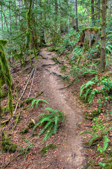
Portions of this trail are quite good and other portions are quite steep with loose dirt and gravel so you do have to be fairly careful. Once I was up on the ridge the trail become quite good, however there were a number of branching trails going off in various directions. Fortunately I had Maps.Me on my phone and surprisingly, most of the trails show on their maps, so I was able, with some care and the odd wrong turn, find my way further west along the ridge. They eventually connect up to the Partridge Hills mountain biking trails that have been created up behind Durrance Lake. I followed one of the trails up to the top of Cole Hill.
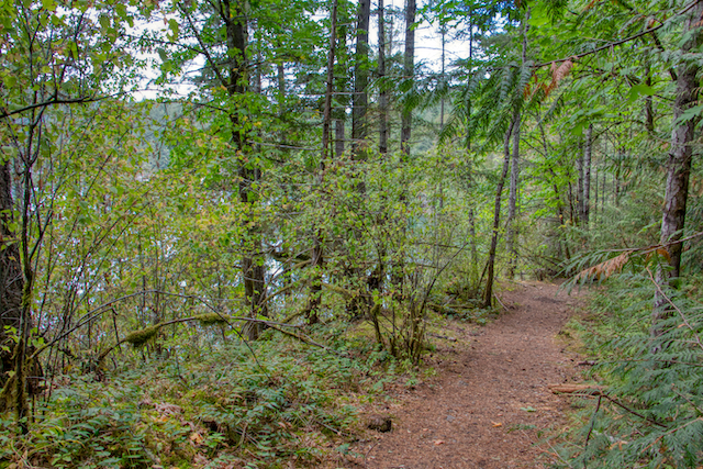
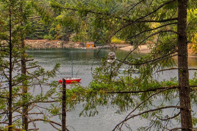
On the way back I took a different trail, likely an old logging road, which led down to the head of Tod Inlet. Here there is a rough bit of shoreline where boaters from Tod Inlet can land and get access to the trails. From here there is a trail running back to the Tod Creek crossing where I started. This trail, is actually a much better trail and if I was to do this hike again I would take this route rather than climbing up onto the ridge.
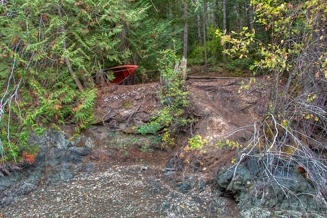
Small beach and access to the trails from the head of Tod Inlet – accessible from the south side only
I did attempt to follow the trail on the south side of Tod Creek all the way back to Wallace Dr hoping that there may be access to the trails on this side without having to cross the creek, Unfortunately the trails ends at a vineyard well before you can reach the road.
Another way you can access these trails is from Durrance Lake and I am sure there is some access from some other points along Willis Point Rd…exploration for another day!
It would be great if the BC Parks would reestablish this trail network. Most of the trails are already in place and in good shape, but the trails around Tod Creek certainly need some remediation and a new bridge would have to be built across the creek.
More ‘Off the Beaten Path’ Trails
For more ‘Off the Beaten Path’ trails in Gowlland Tod Provincial Park, check out our post: ‘Off the Beaten Path’ Part 2

Leave A Comment