Tombstone Territorial Park, Yukon
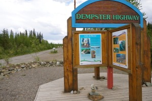
A short drive from Dawson City south on hwy #2, is the T-intersection that leads north onto the Dempster Highway. The Dempster is the route that takes you across the Arctic Circle and on to Inuvik eventually … but we didn’t intend to go quite that far. In fact, our RV wouldn’t go that far! At the entrance to the highway you see a sign “Next Service 370km”. Our range is only about 300 km +/- as we’re only getting about 7 miles to the gallon. Good thing they post that!
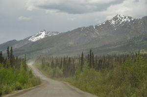
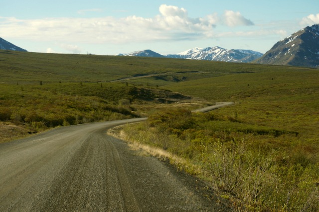
The Dempster Highway is really an experience unto itself. They call it a ‘highway’, quite loosely to my surprise!, it’s simply a gravel road through the wilderness! Up to the campground it’s not so bad … in fact it’s actually better than some of the paved highways we’ve been on lately! After the campground though, it gets quite gnarly and goes from graded gravel to more rocks and washboard than road … I’m sure it scrambled all the eggs in the fridge and loosened a few fillings!
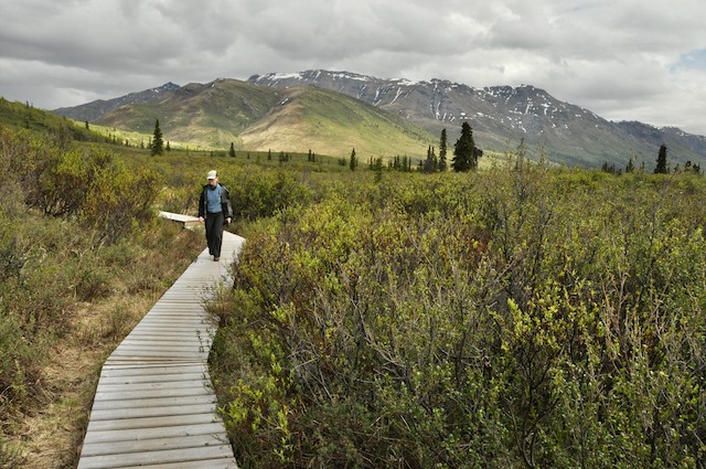
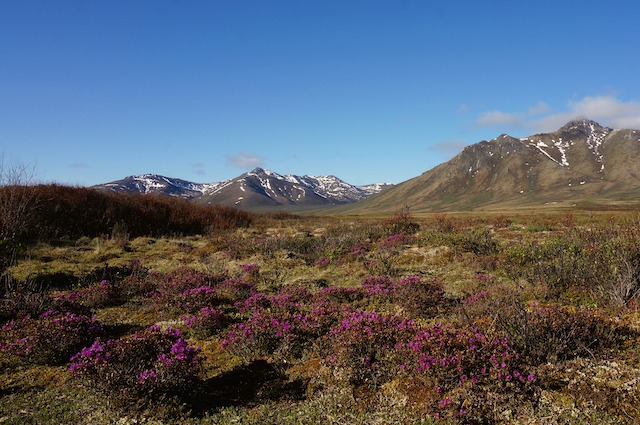
The vegetation is interesting up here, north of 60 degrees latitude. Trees start becoming more scarce and you see mostly Aspen, Poplar and scraggly White and Black Spruce. The further north you go and the higher up in elevation you are, even those give way to dwarf Birch, Willow and the occasional stunted Spruce. Most vegetation is no more than 3’ – 4’ high.
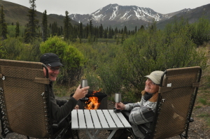
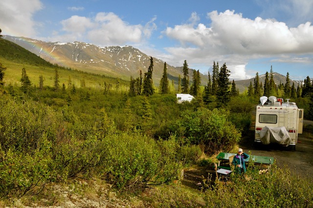
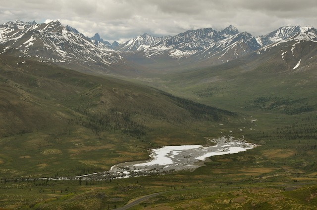
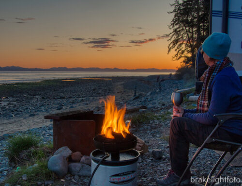
We drove the 70 km to the Tombstone Territorial Park Interpretive Centre and campground and picked out a spot for the night. A beautiful campground and hardly anyone there. Our campsite had a stunning view of the mountains and after lumberjack Bruce split about a cord of wood (seemed like it!) we sat outside for cocktails, campfire and the best view in the world!
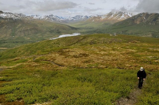
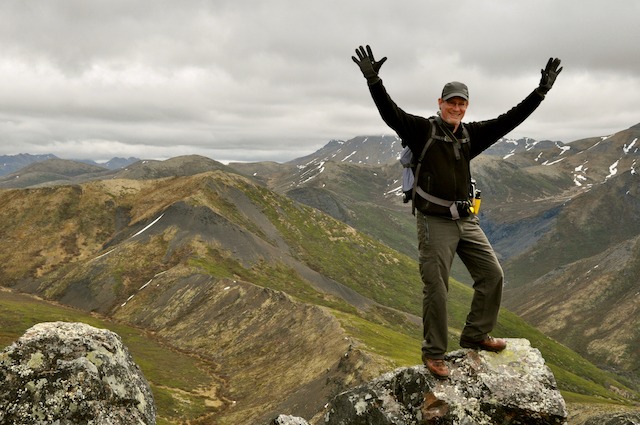
The next day we set out on a hike up Goldensides Mountain. It was pretty gray, cloudy and windy but still stunning and worth the grunt!
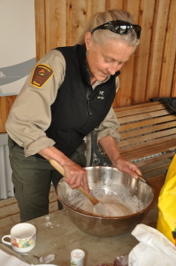
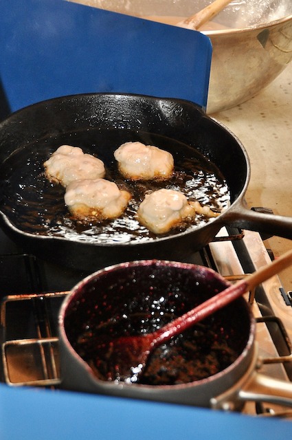
We got back to camp in time for the bannock-making demo at the interpretive centre – YUM! And the park interpreter doing the demonstration brought in some of her own homemade blueberry jam! Back to camp for dinner, then another hike afterwards. Well … it never gets dark so you kind of just keep going! Then more cocktails, more campfire and stunning views of rainbows over the mountains! Life doesn’t get any better!
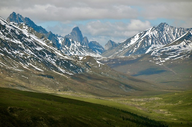
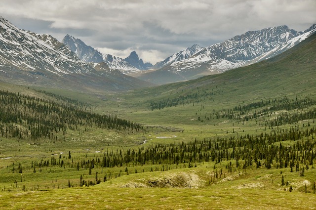
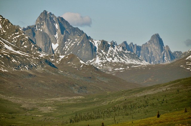
Up early the next morning and we drove another hour north on the advice from some people we met – well worth it as the scenery changes quite dramatically the further north you go. No critters (!) but the mountains were amazing!! I’ve seen a lot of mountains and these are so different and so beautiful I can’t even describe them! But … we had to pull ourselves and our cameras away and head back to Dawson where we’re staying for a night or 2 to clean the RV (talk about DUST and DIRT!), do laundry, empty holding tanks and fill up water and propane for the next leg of the journey – which is on the Top of the World Highway into Alaska. Wooppeeee!

