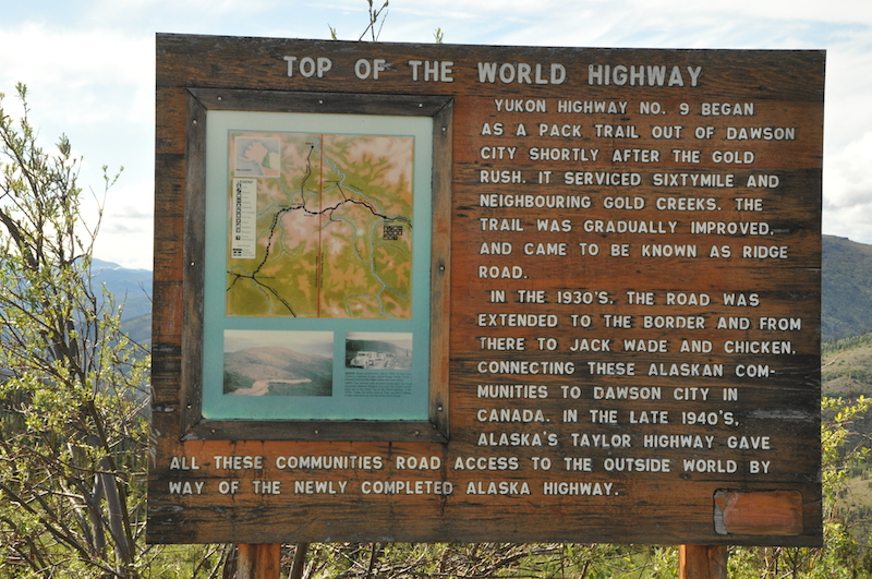
The Top of the World Highway
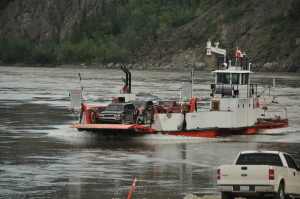
Got up early, put air in our tires and headed to the ferry. Lucky … we were the first ones in line! The George Black Ferry runs 24/7 and just keeps running back and forth all summer. In the winter the river freezes and they have an ice road across instead. There’s not much on the other side of the river though – one small subdivision, a campground and a golf course. The road beyond that is closed in winter.
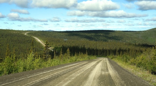
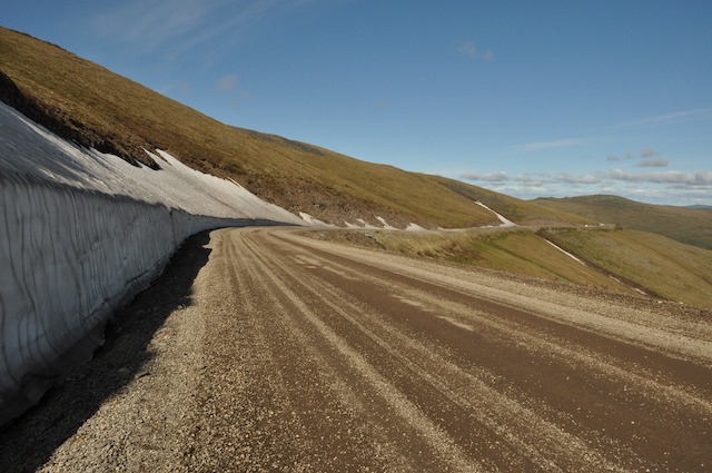
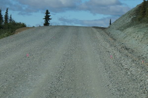
The road. Ah yes, the road. The Top of the World Highway. We’d been warned that it was rough. Really rough. It was about 110 km to the US/Canada border and the road was dirt all the way. As it turned out though…it was in good condition and not too bad overall.
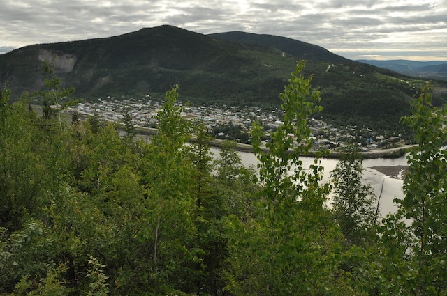
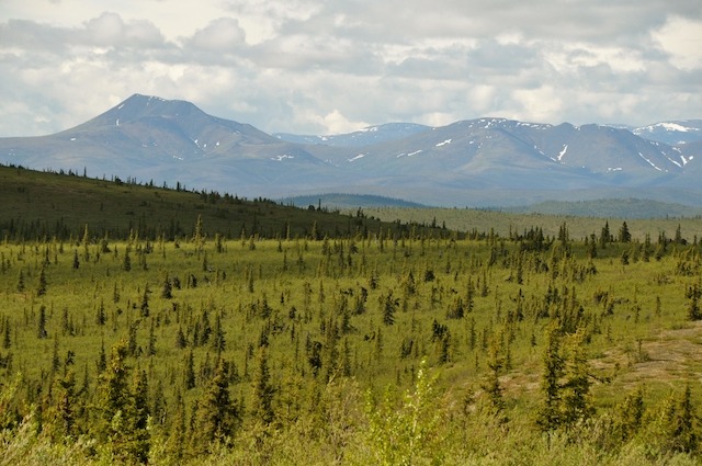
The scenery was stunning! They call the road ‘The Top of the World Highway’ for good reason … although you’re not THAT high … only about 1200m (3600ft) at the highest, but it seems like you’re way above the rest of the mountains and you can see for friggin’ ever! Just beautiful!
We got to the border around 11:00am and sailed through with no problems, until we went to pull away that is! The border guard had made us pull in very close to her window and as we pulled out – to avoid smashing into their camera – we veered to the right … and caught the back of the mo-ho on a post! It ripped part of the back corner of the mo-ho off and kind of smushed some of the side. So not a happy border-crossing after all!
We drove on anyway … nothing we could do at that point. Immediately the road went from bad to worse as this American section was under construction. We were pretty worried as the first ½ km was very large exposed crushed rocks and we could, literally, only go about 5 km/h. After that though, it went to very rough gravel. A very long stretch of the Taylor Highway was under construction, so it was simply exposed, rough gravel – not graded yet. For a good stretch we were only going around 25km/h – probably about 20 miles or so – and lucky there was not much other traffic as we weaved around some really bad spots.
In the summer it must be brutal with lines of RV’s going both ways and kicking up clouds of dust. And there wasn’t much to look at – even when you could take your eyes off the road to have a look! It stayed this way until Chicken – about 60 miles.
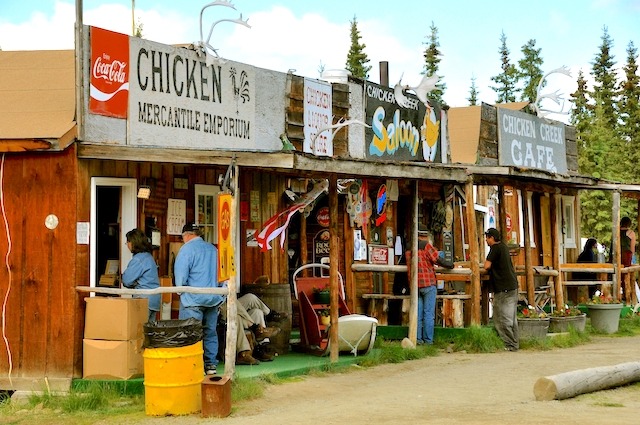
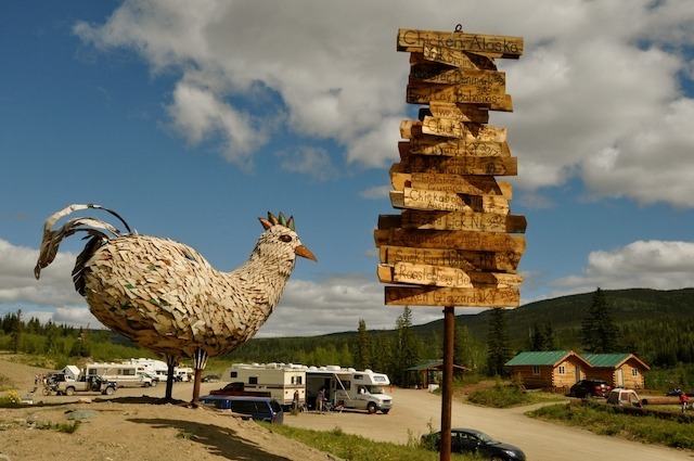
CHICKEN, AK
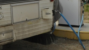
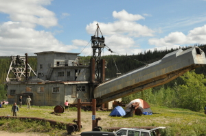
Hmmm. It looked and sounded way cooler in the brochures (doesn’t a lot of stuff!). It was basically a few shacks; a gift shop, a ‘saloon’, a café and a gas pump. That’s it. We arrived just after ‘Chickenstock’ … an annual music festival … which we had heard about and avoided! Good thing as it looks as if it had been packed with RV’ers, tenters and people everywhere!
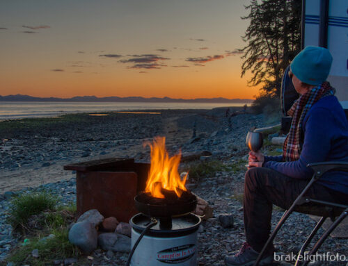
We left Chicken after filling up with gas (the cheapest in Chicken! At $4.49/gal … and then off on some more crappy roads until the West Fork Campground which is a BLM (Bureau of Land Management – looks similar to our Provincial Recreation Sites or Territorial Parks – the fee is only $10/night for a basic site). We stayed there overnight. Lots of bugs … I think we’re finally getting into the mosquitos we’d heard so much about. We lathered up with bug lotion, set out some mosquito coils and finally put up our ‘bug tent’, which worked like a ‘hot damn!’ Quite warm and sunny out so we sat in our ‘tent’ till about 8:00 pm then in for a bit of TV and early to bed.
Leave A Comment