Sea Kayaking Winter Harbour to the Brooks Peninsula on Vancouver Island
This years kayak trip with my good friends and paddling partners Heidi & Dugald, and my first as an official senior citizen of 65, was to paddle from the fishing village of Winter Harbour near the northwest tip of Vancouver Island, south to Fair Harbour in Kyuquot Sound. This would take us out and around the Brooks Peninsula, a stubby 14 km (9 mile) finger of land jutting out into the Pacific Ocean.
The nature of the Brooks Peninsula can make it one of the most hazardous passages on the west coast in the the wrong conditions. I was pretty excited about the trip. Heidi and Dugald have both been around the Brooks on a previous trip, but this would be my first attempt.
Once around the Brooks we would carry on through Checleset Bay and the Bunsby Islands. Paddling from there into Kyuquot Sound, we will end our trip at Fair Harbour, a small fishing village located on an inlet off Markale Passage. This epic two week trip was to take us around some of the gnarliest stretches of exposed paddling on the west coast. At least that was the plan.
The Beginning
Winter Harbour is about an 8 1/2 hour drive from where we live in Victoria, on Vancouver Island. Fortunately, we can break the trip up with an overnight stay at our friend Brenda’s place in Campbell River. Here, we would pick up her Grandson, Brandon, who had agreed to run a shuttle for us. He would drive my truck back from Winter Harbour and return to pick us up at Fair Harbour in approximately 2 weeks.
I should mention that this is not your average overnight stay. Heidi and Dugald don’t call it ‘Brenda’s Resort & Spa’ for no reason. Her beautiful home is situated right on Discovery Passage just south of Campbell River, with spectacular views over the water and the Coastal Mountains of the mainland. The food and wine Brenda lays out is nothing short of amazing!
Winter Harbour
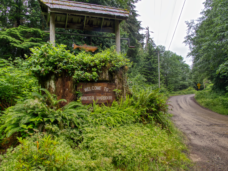
In the morning, after a hearty breakfast, we would drive north towards Port Hardy, then 45 minutes on logging roads to the village of Holberg. From Holberg it is another 40 minutes or so to the village of Winter Harbour. Winter Harbour got its name in the 1800’s, when its sheltered harbour became a sanctuary for sailing ships trying to avoid the winter storms. Winter Harbour is a mixture of scattered homes, cottages and various businesses and is home to a good size charter fishing fleet.
Day 1 – A Wet Beginning
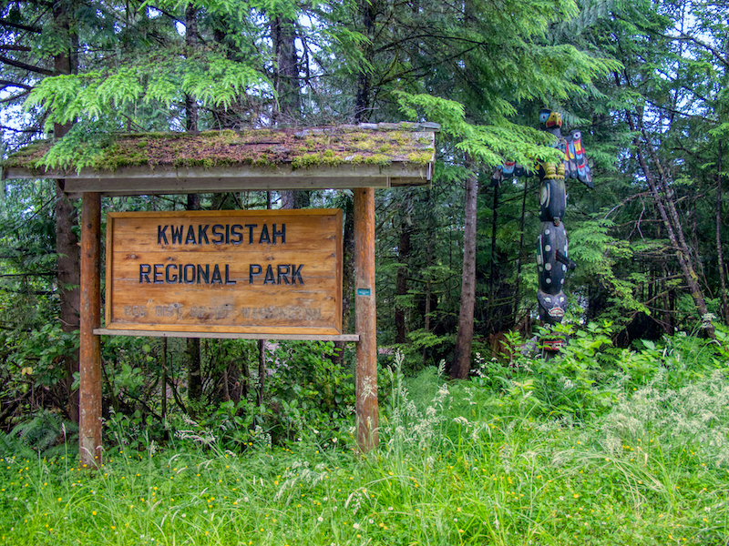
We arrived in Winter Harbour in the pouring rain. An inauspicious beginning to the trip and shades of last years start at San Josef Bay just north of here to paddle around Cape Scott and the north island. Our plan had been to load the kayaks that afternoon and go. However, high winds and rain made for an easy decision to spend the night at Kwaksistah Regional Park just outside of Winter Harbour.
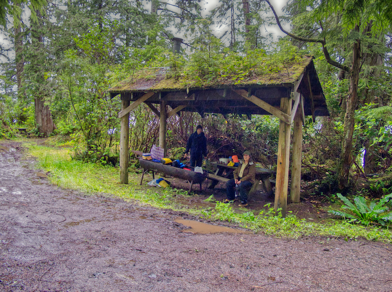
Fortunately there was a convenient picnic shelter where we were able to stay mostly out of the rain. However, between a leaky roof and water running through the site, it became a muddy quagmire. Still, any shelter in a storm.
Day 2 Winter Harbour to the Hunt Islets
The high winds and rain subsided by mid-afternoon the next day, so we packed up and set off in a light wind and drizzle. Our destination was the Hunt Islets only a 1 1/2 hour or so paddle from Winter Harbour. While the drizzle continued, the winds had eased off so we arrived at camp only slightly damp.
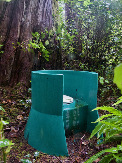
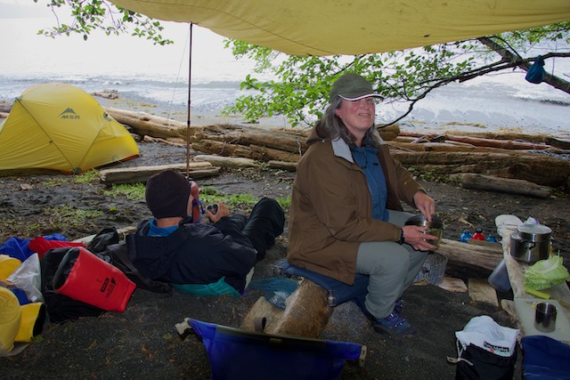
The Hunt Islets are a BC Marine Trails Recreation Site, the first one that I have personally seen that is identified with a sign and has a registration box on site…still free though! There are some decent tent sites cut out in the forest, a trail across the island and a trail leading to the Green Throne, an exposed pit toilet complete with trail identification and occupancy signs. Luxury camping at its best! We quickly set about setting up camp including the tarp and Heidi got down to the business of meal preparation with all hands chipping in.
Day 3 The Hunt Islets to Kwakiutl Point
Quatsino Sound is a 5 nautical mile crossing, which represents a good couple of hours of paddling over very exposed waters. It is best to make this crossing in the morning while the winds are light. We passed by Kains Island and the Quatsino Lighthouse on our way. The lighthouse here was established as a temporary measure in 1907 to support the logging and mining industries on the coast. The white circular tower that is there now was built in 1977 and the lighthouse is still manned by two resident keepers.
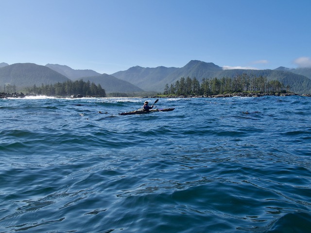
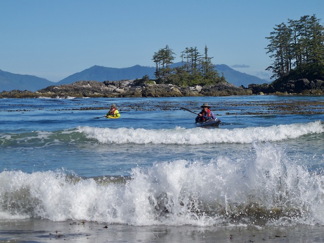
Our crossing took us through the Rowley Reefs on the south side of the sound to a bay where we stopped for lunch. The Rowley Reefs are pretty interesting. It is a large area of low lying rocky reefs and small islets and with a large swell rolling through the sound, there was a lot of white water being thrown up. It required constant attention to avoid unexpected breaking waves.
After a quick lunch we made our way around the point and threaded our way through the Rowley Reefs into Restless Bight. We continued across the bight to the inside of Kwakiutl Point and our campsite for the night.
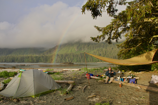
The weather was beginning to clear and some periods of sunshine made for an opportunity to dry out some gear. The sunshine and the isolated squalls that were rolling through made for some interesting lighting including a rainbow that afternoon.
Day 4 Kwakiutl Point to Side Bay
The weather forecast was not looking promising. High winds out of the northwest would continue as a quasi-stationary ridge of high pressure stalled off the coast.
While winds were staying relatively light along the coast near us, the high winds off shore were bringing 2-3 meter seas, which could create some troubling conditions off the headlands. To make matters worse, the Brooks Peninsula, the big obstacle we need to get around, sticks 9 nautical miles out from the coast and the winds parallel to shore accelerate around the peninsula. Winds at Solander Island, which lies just off the northeast tip of the Brooks, may be 15 knots higher than further offshore.
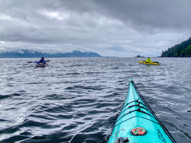
The winds near us were light in the morning as we set off to round Kwakiutl point and the headlands leading south to Lawn Point and Side Bay. The seas were large, easily reaching 2 meters and more. These rocky headlands have lots of shallow reefs extending well off shore where wave heights can get much larger and even steepen and break. To make matters even more exciting, there are waves rebounding off the shore, which can make for some very confused and mixed seas. Ultimately, to be safe you will find yourself paddling a good 1/2 – 1 nm or more offshore to avoid the worst of this gnarliness.
We had our only whale sighting of the trip along this headland. Dugald spotted the first one, a large black fin breaking through the surface in front of us. A short while later three Orcas surfaced and blew just a short distance away between us and the shore. A male, female and a younger whale.
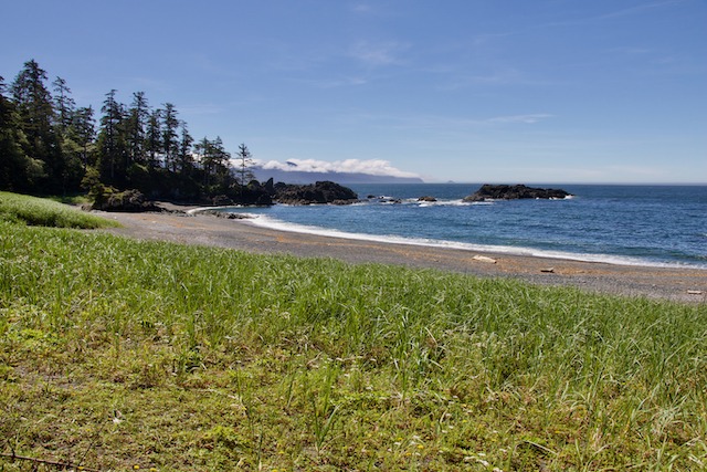
With the wind and waves at our back we made good progress and arrived in good time for snacks and a pee break at the aptly named Lawn Point. From a distance Lawn Point looks like a manicured golf course. Up close it is waist high dune grass, but it is still a very pretty and sheltered spot to stop for a break.
Next stop, Side Bay. Side Bay was Dugald’s and my southern most stop on our Quatsino Sound kayaking trip from San Josef Bay returning to Winter Harbour in 2013. Our goal was to camp here, at least overnight, and check the weather again. Originally we had planned to carry on to Heater Point, another 4 1/2 nm down the coast, but since we weren’t familiar with the campsite and its potential exposure to the the northwest winds, we decided to stay at Side Bay.
Side Bay has logging road access, so the first beach we passed had a number of vehicles parked with people camping. We definitely wanted to keep paddling past this zone. There are a couple of more beaches further along around some rocky points, with good camping and further from the crowds. On the way into Side Bay the amount of logging on the hillsides is very noticeable and you’re thinking, wow! That kind of takes away from the beauty of the area. However, once you are on the beaches looking south you no longer really notice it and the views are stunning!!
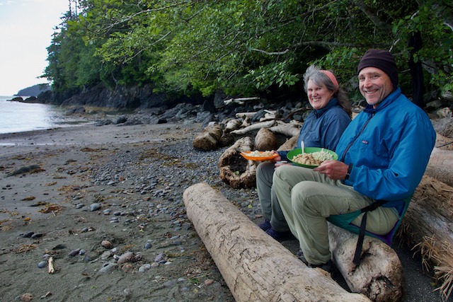
Enjoying a delightful meal of Mexican rice with Heidi’s homemade chorizo accompanied with cabbage salad with a dill vinaigrette – delightful!
Day 5 A Day Trip to Heater Point
Since the winds weren’t dying down offshore, we decided to make a day trip to Heater Point in the morning and check it out. We were already getting a little concerned about the getting around the Brooks on this trip. We also had to consider what we were going to do if that wasn’t going to be the case. Carrying on further south could potentially mean having to battle strong head winds and large seas coming back or even worse, getting stuck down there for longer than we would like.
We set off in calm, sunny conditions in the morning making the roughly 4 1/2 mile crossing in about and hour and a half. We pulled out onto the beach near the tip of Heater Point to have a look. This section of the point obviously takes a lot of serious wave action judging from the massive contouring of the cobble beach we were on. Not really suitable for camping. Not that I would want to be here, but this would be an awesome place to see in a big winter storm!
Once we were back in our boats we turned into Klaskino Sound and paddled towards a large cobble beach just around the corner from the point. We were able to stop here for lunch and survey the beach for possible camping in the future.
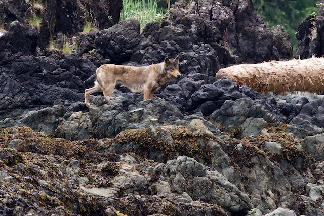
On the way around Heater Point to the lunch beach, Dugald spied it first! He was excitedly whispering some unintelligible sounds at me. I assumed from his odd behaviour that he must have spotted something extraordinary, so I quickly pulled out my camera with my 100-300mm zoom lens just in case. It paid off!
Dugald had spotted a wolf on a rocky point close to where we planned to land. These critters are pretty shy, so after a quick look at us, he/she quickly trotted back up the beach and disappeared. Although I wasn’t as close as I would have liked, I managed to grab a record shot of the sighting. Always exciting to see a wolf on these adventures!
Sea Wolves
The coastal wolves of BC are quite unique and it was only in 1998 that they began studying them in earnest. The sea wolf has adapted to life on the coast. They are powerful swimmers, have adapted to eating salmon, but apparently only the brains, which they figure is to avoid “salmon poisoning”, a bacterial toxicity from eating raw fish, which can be fatal to dogs and other canids. This strategy also avoids things like tapeworm, common in bears who eat the whole fish. Sea wolves also hunt seals, otters, deer and will also dig for shell fish.
Day 5 continued – Heater Point to Side Bay
After lunch, we headed back to camp at Side Bay. This time we followed the shoreline back. When it’s relatively calm it is nice to be able to hug the shore. There are always lots of things to see from, interesting rock formations to plant and sea life.
After a pleasant day of mostly sun and clear skies, the weather once again moved in with fog and drizzle beginning as we landed. It was time to get the tarp up and get the camp chores underway.
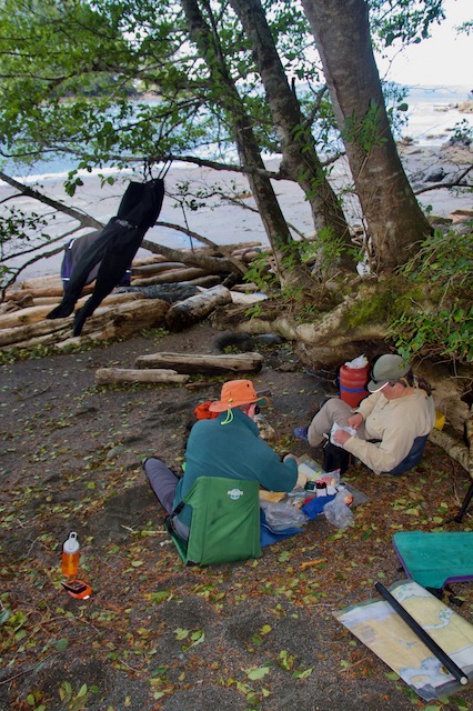
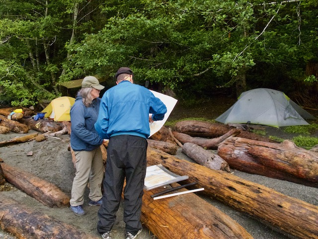
That evening we brought out the charts to look at our options for the next few days. We also listened to the weather on the VHF radio, ever hopeful that we would hear some change in the forecast, which sadly, wasn’t changing. After careful consideration we decided to make a move down the coast towards the Brooks Peninsula anyway, hoping to make camp near the Bonner Islets at the entrance to Klaskish Inlet.
Day 6 Side Bay to Klaskish Inlet
Once again the seas were calm and pleasant as we paddled across Side Bay back to Heater Point. But it ended there. After a quick break, we rounded the point to head south towards the Brooks. The swell height offshore was a good 2 meters forcing us to give Heater Point a wide berth.
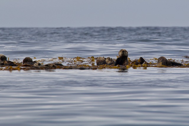
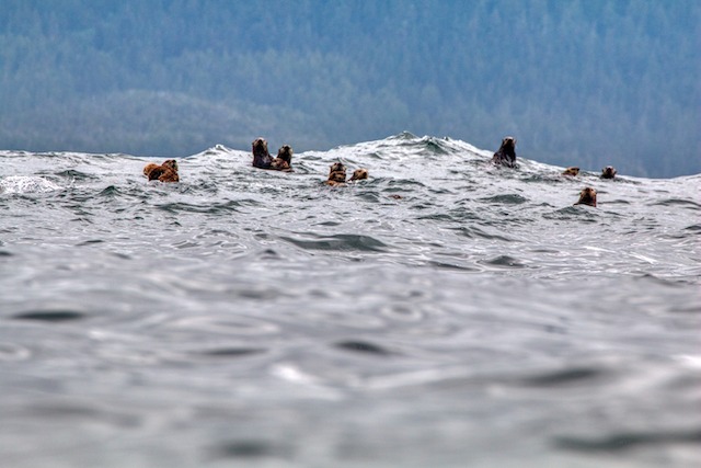
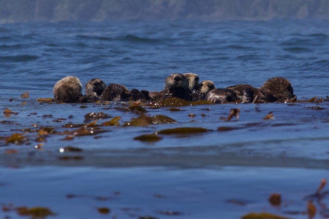
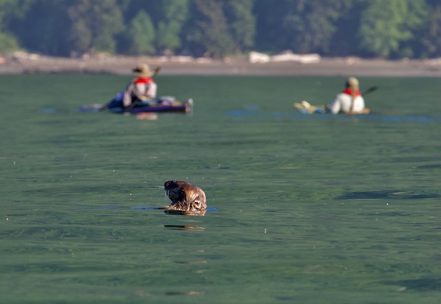
It was a long paddle down to Klaskish Inlet in big seas. The only break we had was about two thirds of the way down. We were able to take shelter out of the waves behind Gould Rock with a large raft of sea otters for company.
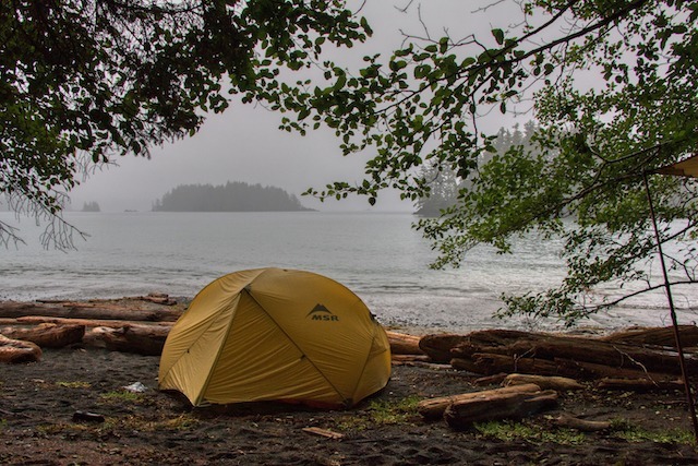
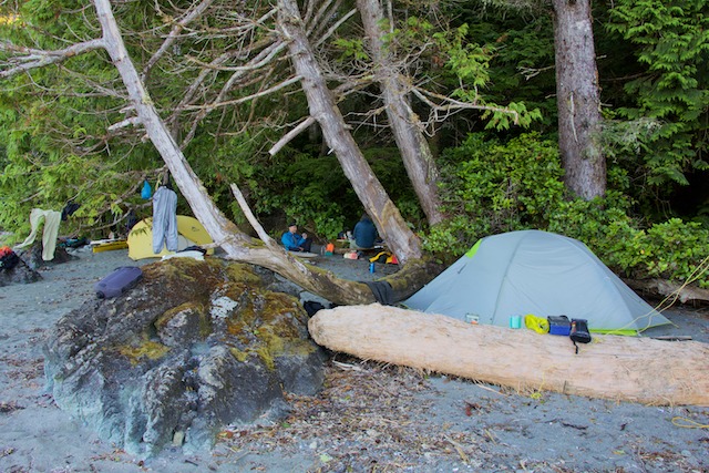
After threading our way through the Bonner Islets, we rounded a rocky point and landed on a beautiful sandy beach. There were decent sites right on the beach for the tents and a suitably flat log for our kitchen. The bugs were a little bad, but there was a good water supply and the view across the inlet was spectacular!
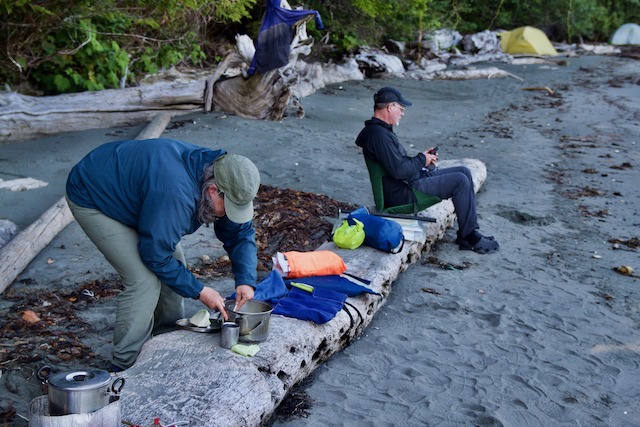
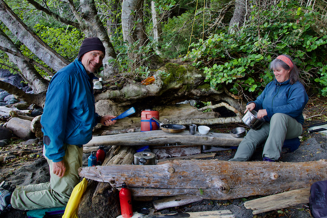
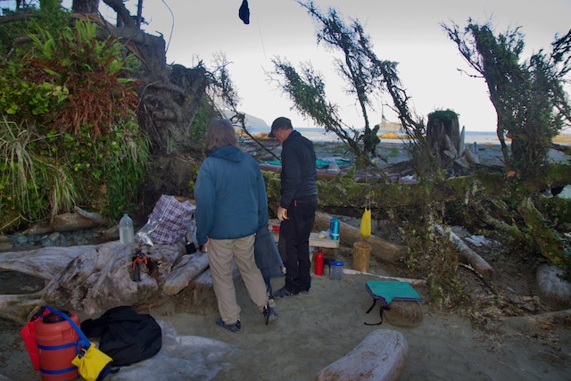
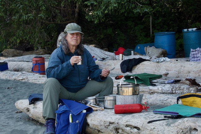
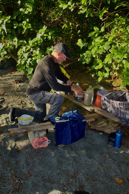
Campsite at Klaskish Inlet, Heidi starting dinner, Bruce sending out inReach message – Dugald Nasmith Photo
All around Quatsino Inlet, Klaskino Inlet and the northern side of Klaskish Inlet there are the inevitable signs of logging. Clear cut hillsides, logging roads zig-zagging back and forth across the mountains, and unnatural looking uniform patches of green where replanted forests are growing.
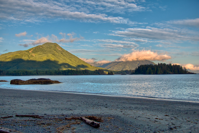
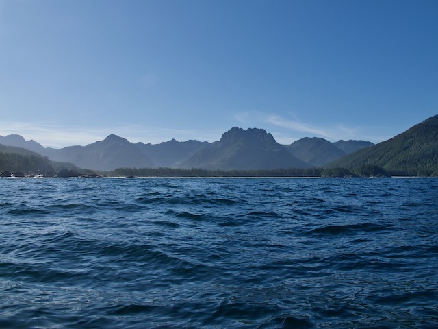
The south side of Klaskish Inlet is quite different. The whole Brooks Peninsula is stretched out before you. It is pristine wilderness as far as you can see. The mountains and hillsides are all untouched by logging because it is all protected parkland.
The Brooks Peninsula
The Brooks Peninsula Provincial Park was established in 1995 and spans 127,583 acres. The area is the traditional territory of Quatsino and Checleset/Kyuquot people and has been used by them for fishing, hunting and gathering for thousands of years. In 2009 an agreement was made to rename Brooks Peninsula Provincial Park to Mquqᵂin/Brooks Peninsula Provincial Park. Mquqᵂin means “The Queen” in the Nuu-Chah-Nulth language.
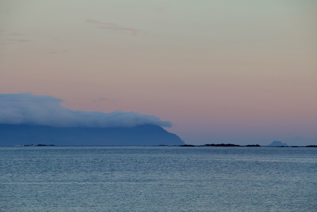
There are 8 named peaks within what is called the Refugium Range on the Brooks Peninsula. The range was named Refugium because the upper slopes of these mountains escaped glaciation during the last ice age. The highest peak in the range is Mount Seaton at 961 m 3,143 ft. From the north side, where we were, the most prominent is Harris Peak at 888 m 2,913 ft and Doom Mountain at 787 m 2,582 ft. Doom was apparently named because of its unusually shaped and steep slopes and because it is often shrouded in cloud.
Since upper slopes of the Refugium Range have been untouched by glaciers for 20,000 years there are rare plant species here that are found nowhere else. The park’s untouched old growth forests are a crucial sanctuary for wildlife and its pristine estuaries provide habitat for salmon. The Brooks also provides breeding grounds for thousands of sea birds.
Day 7 Klaskish Inlet to the Crabapple Islets
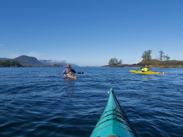
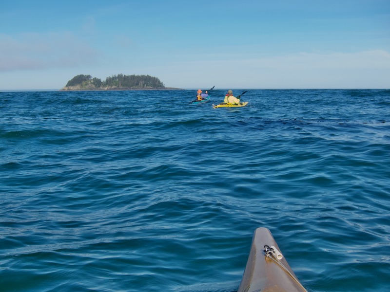
After a hearty breakfast of grits, we broke camp and set off for the Crabapple Islets, about 4.5 nm or about halfway along the Brooks Peninsula. As we paddled along the shores of the Brooks Peninsula, the winds were light, but the swell was large. The Crabapple Islets would be our next stop to camp and assess the weather before deciding whether to make an attempt at rounding the Brooks.
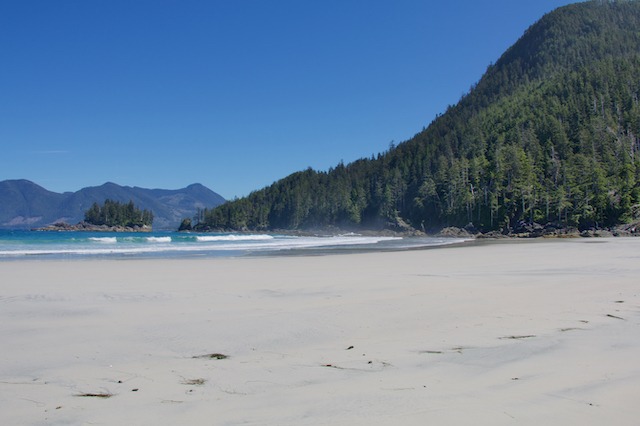
The Crabapple Islets are a couple of small islands on either side of a point of land with a sandy crescent beach running between them. They are sandwiched between two large bays, Ambrosia and Hackett, both lined with gorgeous sand beaches.
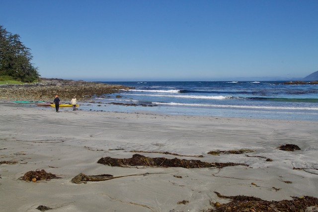
We successfully landed between them in small surf near where we would set up camp. With the sun shining and temperatures warm, things were looking up. We would spend a lazy afternoon setting up camp, reading, napping and exploring the beaches. The afternoon also including doing some laundry and getting cleaned in a small stream flowing into Hackett Bay.
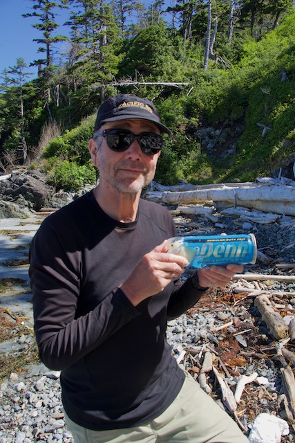
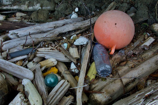
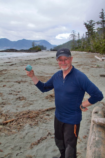
It is on this beach that I would find my first Japanese glass ball after years of combing west coast beaches. Yeah!! There is so much debris washed up on all these beaches. Tons of fishing gear, from fishing floats of all descriptions to lures and, of course, the pervasive plastic water bottles. Occasionally you find more interesting things like an unopened can of tennis balls, perfect for juggling, and also at this spot, a couple of kid’s bicycle helmets.
With the forecast was still not changing, we decided to spend another day at the Crabapple Islets and see how things played out. The winds were blowing over 20 knots on Solander Island, off the northeast tip of the Brooks, and the forecast was for continuing gale force winds.
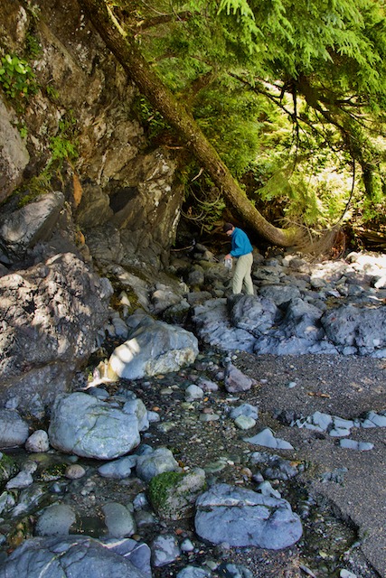
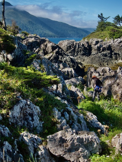
We would spend the day enjoying the warm sunny weather, exploring the beaches. Dugald and I would hike around one of the islets. Even a tiny islet like this takes some time and effort to get around being a very rugged, rocky shoreline. However, good fun, good exercise!
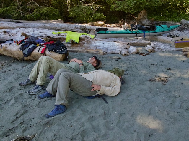
Of course, after a good hike or paddle we do like to have our daily ritual of afternoon coffee usually accompanied by cookies, and often followed by a nap. After that it’s dinner preparation time. This evening’s dinner rotation was Heidi’s Mexican rice with homemade chorizo, cabbage salad with dill vinaigrette…delightful!!
Day 9 Crabapple Islets to Cape Cook
Today we would push out to the northeast tip of the Brooks to have a look at the actual conditions out there. We were up at 5 AM and on the water by 7:30 to catch the lighter morning winds. The skies were overcast and the seas a good 2 meters, lumpy and confused, but fortunately the winds were light.
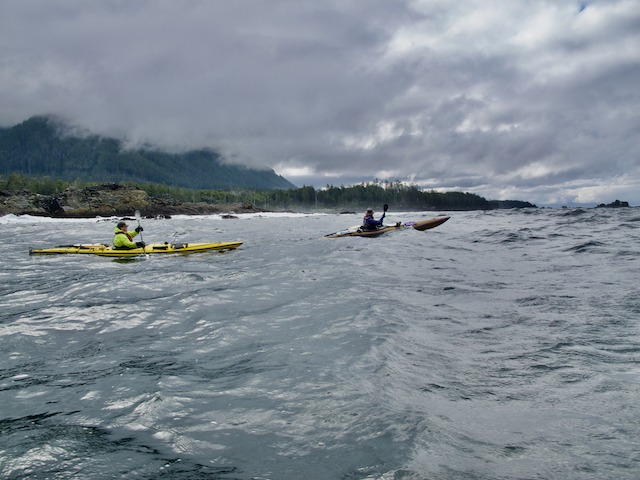
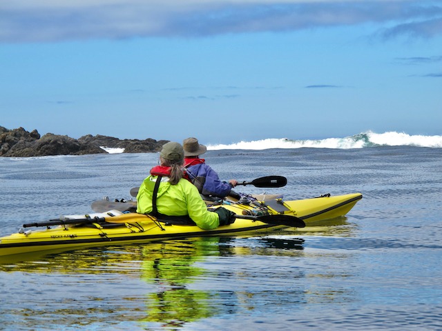
We had a wet uncomfortable paddle for the roughly 5 nm to Cape Cook, all of us taking a breaking wave over the head at least once. Our plans were to scout a small cove with a possible landing area and campsite just inside the cape. We were hoping to use this as a staging area for a push around the Brooks. Unfortunately, the large northwest swell was crashing directly into the cove. It wasn’t worth risking equipment and injuries by trying to land in there.
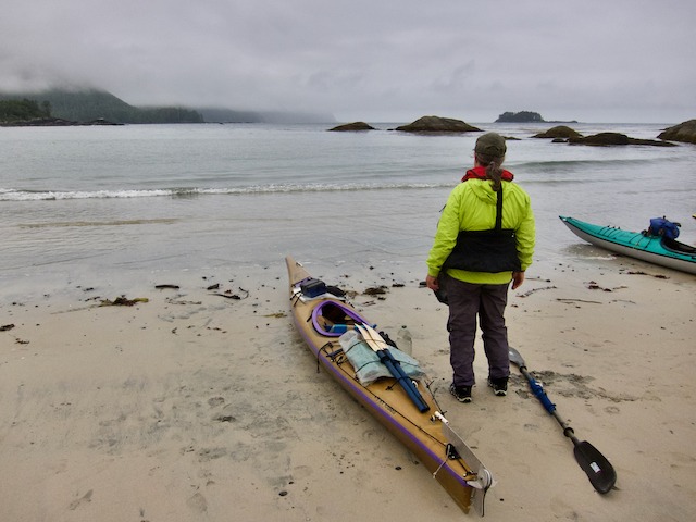
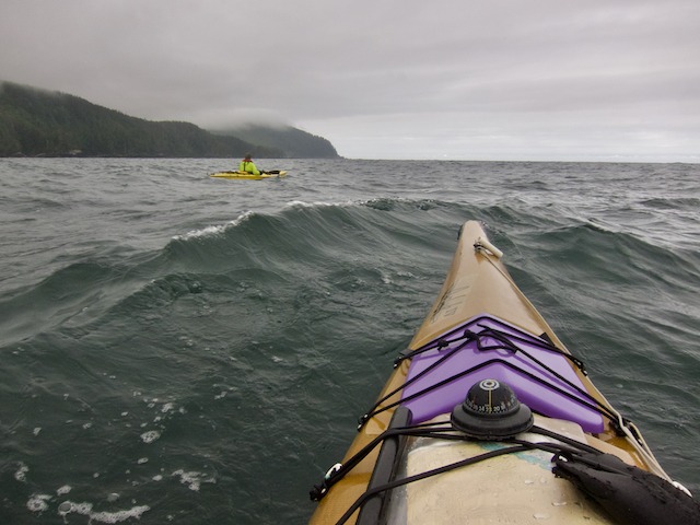
Serious contemplation as we prepare to depart for the tip of the Brooks Peninsula – Dugald Nasmith Photo
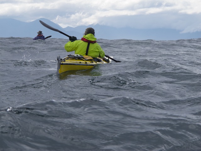
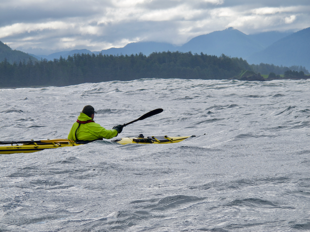
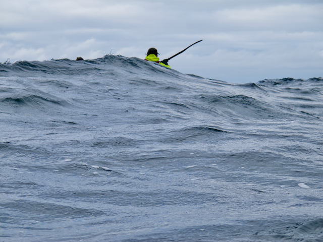
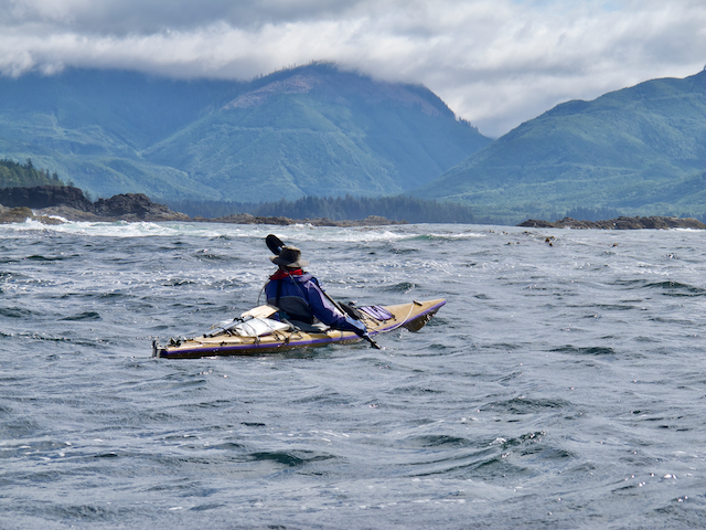
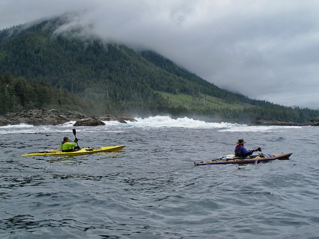
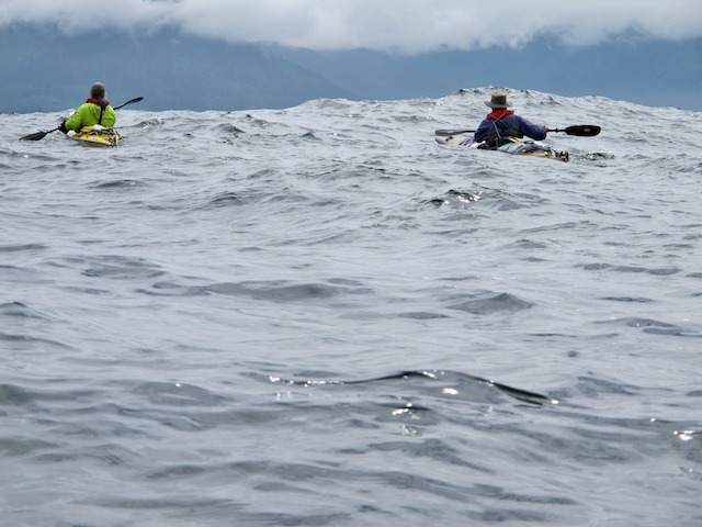
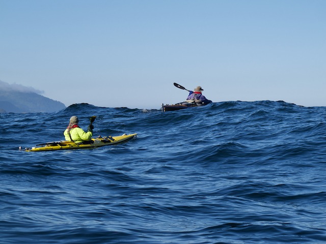
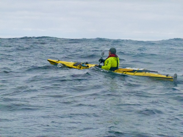
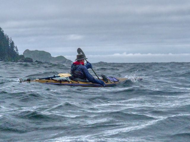
Trying to capture of images of paddling in rough water is very difficult. The stretch of water out to Cape Cook was even more so, as much of the time I really didn’t want to let go of my paddle. The other problem is camera lenses, especially wide angles, tend to flatten out the look of the water. Also, the Canon G-12 that I use on the water is slow, so you only get one chance. It comes down to a matter of luck if you happen to be in the right place at the right time when a kayak is in the right position on a wave. That’s my excuse anyway.
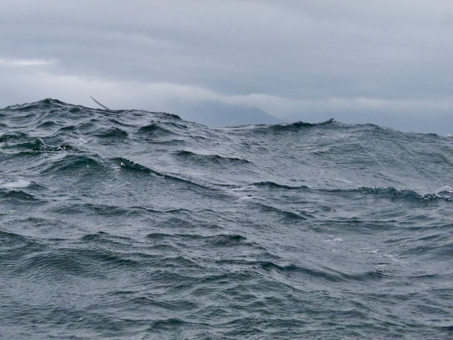
Rough water on the way to Cape Cook – the paddler just disappeared behind the wave, only the paddle blade in view
At this point our choices were limited. It was another 4 plus nm around the tip of the Brooks to the only other feasible landing spot. With the winds howling off the tip of the peninsula and the large swell out there, if that beach proved to be too gnarly to land, the next spot was another 6 nm around on the south side of the Peninsula. The winds here were also blowing 25-35 knots. Pushing on would raise the risk factor to an unacceptable level. The only safe and sensible thing to do was turn around and head back to the Crabapple Islets.
As it would turn out, the winds off the Brooks were still forecast to be 25-35 for the next several days. Winds at Solander Island later that day were blowing 30 and gusting to 40 knots. This would be the end of our attempt at getting around the Brooks on this trip. But that’s ok. You have to know when to fold them! Heidi’s Mediterranean dinner of pita with tabouli and hummus along with a couple of glasses of wine would go a long way to making us feel better about the whole thing.
Day 10 Another Layover Day in the Crabapple Islets
So the plans have changed, what do we do now? The easy decision was to spend another day laying about the Crabapple Islets. The weather was warm and sunny, the campsite was great, a good supply of fresh water, plenty of beach to explore, no bugs, plenty of great food, and lots of wine and sipping rum.
Day 11 Crabapple Islets to Klaskish Inlet
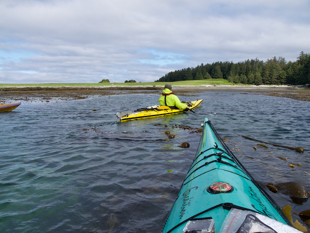
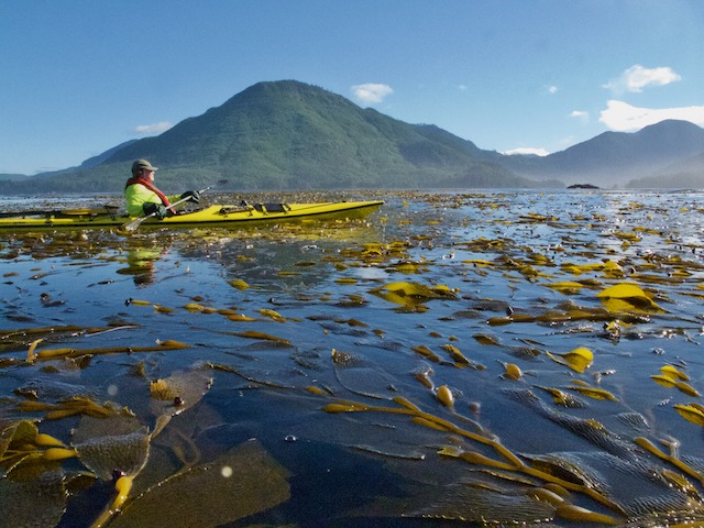
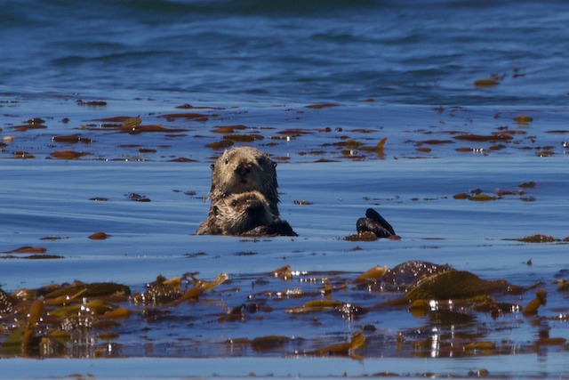
We had decided to head back into Klaskish Inlet, explore the inlet, then camp overnight near the Bonner Islet site we had stayed at on our way south. Our departure would take us through a kelp bed, just off the beach in Hackett Bay, and our closest encounter with sea otters.
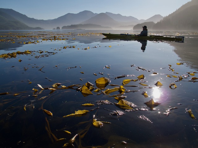
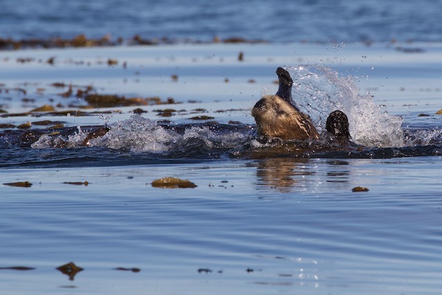
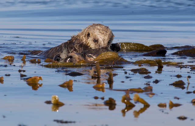
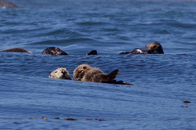
We came upon a sea otter no more than 30 or 40 feet away, splashing and rolling around in the kelp. She then laid very still. All of a sudden a pup came up and joined her swimming around her and climbing on her and making cute little otter sounds. It turned out to be a great photo opportunity and just plain fun to watch their interaction.
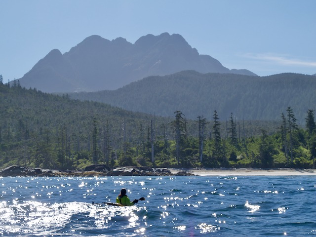
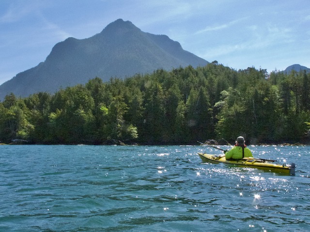
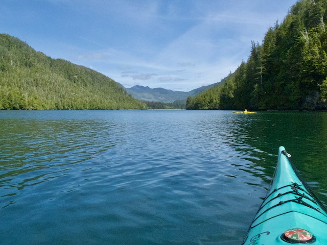
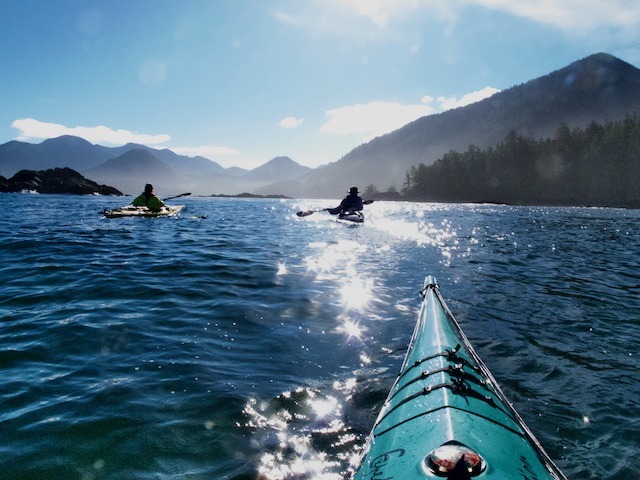
As we paddled back towards Klaskish Inlet it remained sunny and calm, seemingly at odds with the strong winds blowing around the tip of the Brooks just 5 nm away. The sun was filtering through a light haze, sparkling off the waves and backlighting the peaks of the Brooks Peninsula making for a magical paddle.
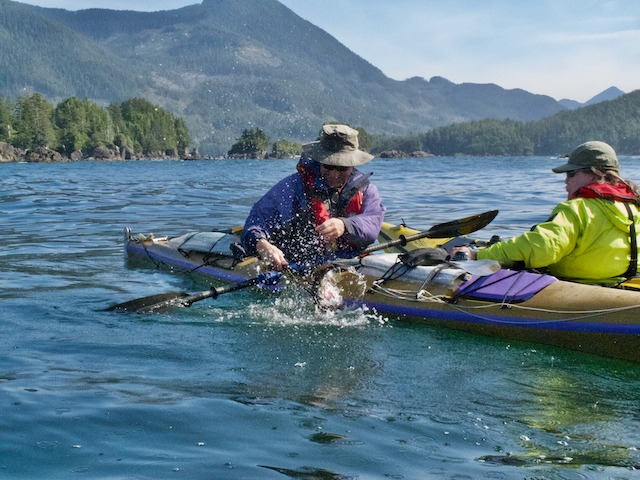
We paddled east towards Orchard Point, near the entrance to the inlet. We were able to take shelter out of the swell behind the point, so Heidi and Duglald stopped to try catch a fish for dinner. While they managed to land one, it was a little too small to keep. With no further luck, we continued down the south side of the inlet, stopping for lunch at small rocky beach near the Klaskish Anchorage.
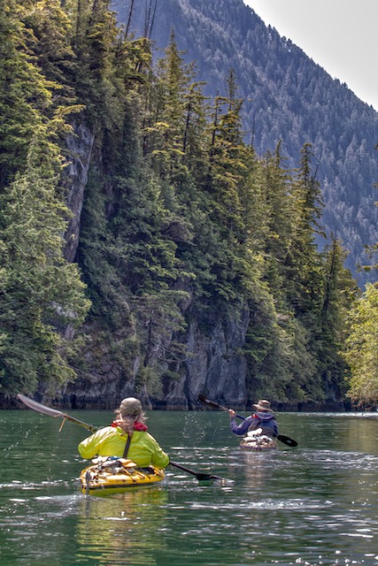
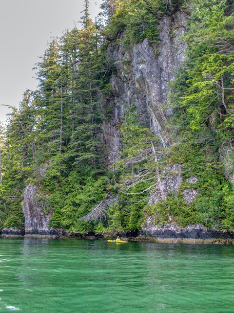
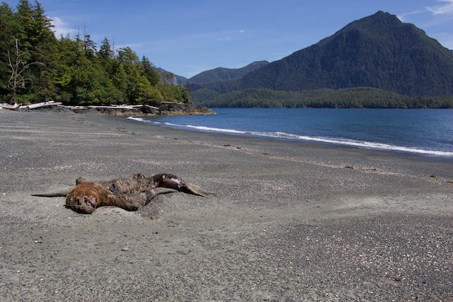
After lunch we paddled toward the head of the inlet, paddling through a beautiful narrow passage with steep rocky cliffs, into Klaskish Basin. After a look around we paddled on to the campsite. Things had changed a little bit since our last visit here. Our pristine beach now had a large, very dead and very stinky sea lion lying on it. Still, we were able to set up camp and our tents out of the general prevailing stench. We enjoyed a beautiful calm sunny afternoon and evening enjoying the pristine view across the inlet at the Refugium Range.
Day 12 Klaskish Inlet to Klaskino Sound – Heater Point
Today we were faced with a long exposed paddle back up the coast to Klaskino Sound against potentially high northwest winds and 2-3 meter seas. We were up early to take advantage of calmer conditions we could hopefully expect in the morning. As we were breaking camp, a wolf started howling in the forest behind us, followed shortly after by a couple of others. Maybe they were getting anxious to get back at their sea lion carcass? There is nothing more haunting and inspiring than listening to wolves howling in the wilderness!
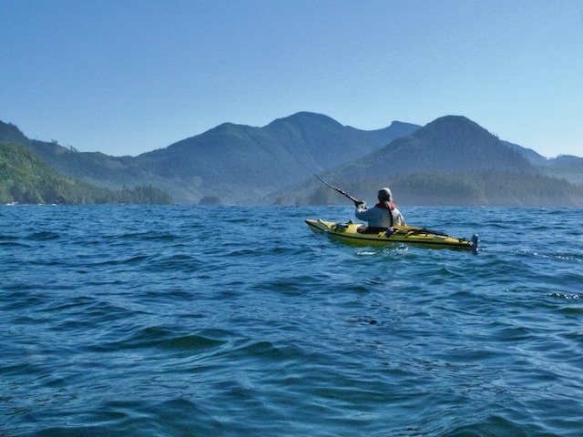
We set out in calm conditions with a light foggy overcast and although the swell was large, paddling conditions were otherwise excellent. The sun was breaking out through the fog by the time we rounded Heater Point about 5 nm up the coast.
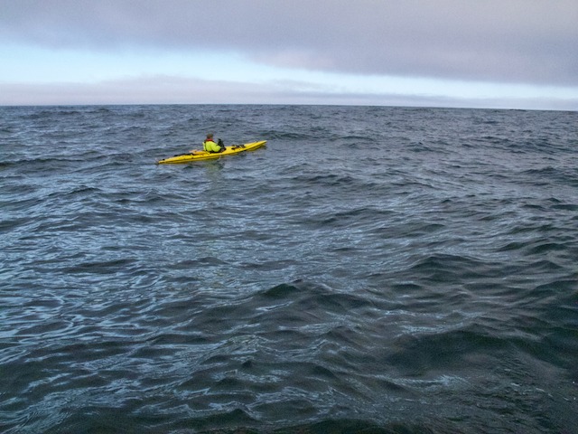
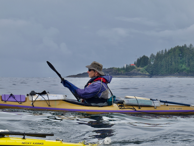
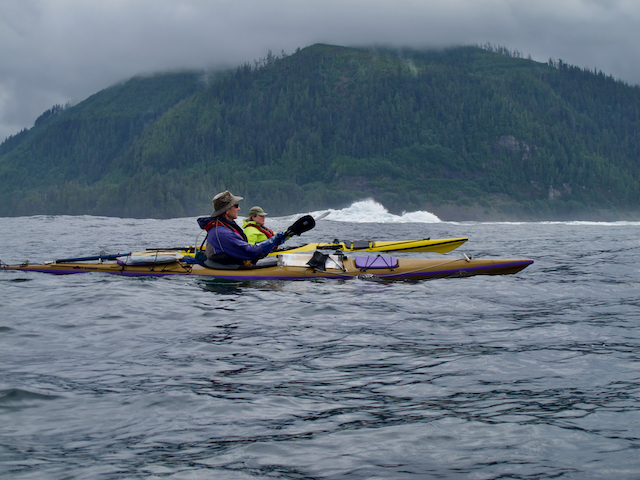
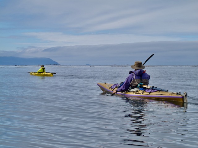
Heading north toward Heater Point in large swell – the camera makes the water looks flat, but you can get a feeling for the size of the swell by how high I am over Heidi’s kayak!
There is a nice spot on the north end of the beach to camp, although there is no water. Dugald and I set out in our kayaks after lunch to try and find a source. We ended up paddling 1.5 nm to the Klasksino Anchorage, where we found a good sized stream flowing into the inlet.
There were 3 other kayakers camping here, so after apologizing for the intrusion we collected our water. On the way back to the kayaks we noticed the other kayaks on the beach were Feathercrafts, a type of folding kayak that was manufactured in the Vancouver area up to about 5 years ago. That twigged Dugald’s memory of one of the fellows we had met on the beach.
It turned out he was the founder and manufacturer of Feathercraft Kayaks. Dugald and Heidi had purchased a number of their kayaks during their time running the Pacific Rim Paddling Company. So an interesting reacquaintance ensued. Doug, was out with his son and a former employee and were also making an attempt at getting around the Brooks Peninsula. Like us, they were forced back by the bad weather at Cape Cook.
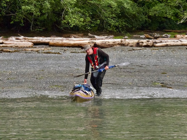
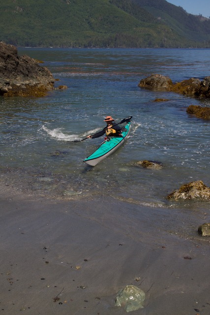
After collecting our fresh water it was a straight run back to camp with the anticipation of afternoon coffee! I should mention here, that one of the worse things about kayaking as you get older, is getting out of the boat. While paddling all is good, we look solid and we look competent, but at the landings we have everything from graceful to staggering exits and out right falling over on your ass exits. Dugald likens it to the Albatross, an incredibly skilled and graceful flier but whose landings usually end in an seemly nose plant.
The problem is that the joints & muscles stiffen up from sitting for so long in one position. When you go to stand up the pain can be rather excruciating. The trouble is worse you’re landing in surf, you generally want to get out of your kayak quickly. This is where most of the problems arise. Your brain says lets go, but your legs say no! This can lead to some rather embarrassing moments. Amusing to onlookers but not so for the hapless kayaker who finds themselves on their butt in the water.
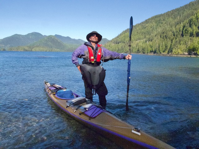
In calmer situations this has led us to the development of ‘The Pose’. After getting out of the boat you just stand there for a brief time to let the legs adjust to their new situation. The key to making this look perfectly normal is to just appear to be wisely surveying the beach.
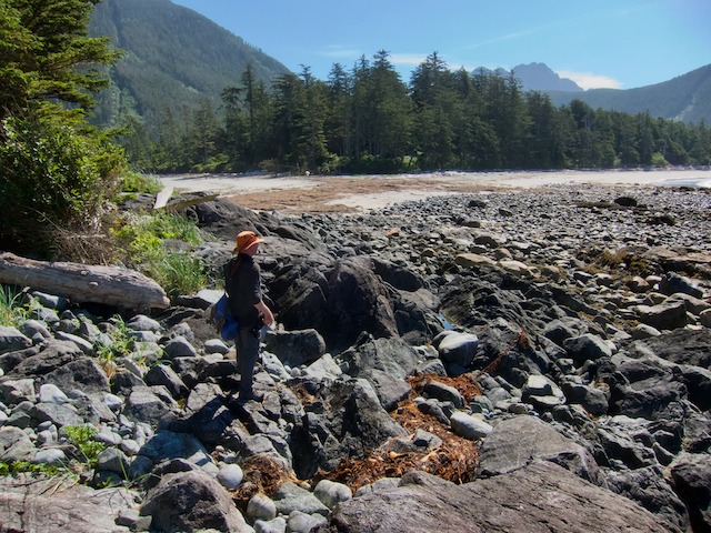
After getting back from water collection, we discovered a trail that had been cut across to the west side of the point. Dugald and I naturally had to explore it. Someone had gone to a lot of work to cut this trail, but it was still a hell of a work out climbing over and under logs to reach the other side.
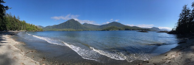
The hike was worth it though, bringing us to beautiful beach on the exposed side of the point. The herbal smell blowing down the beach through a large area of dune grass and other plants, was intoxicating and the views across to the tip of the Brooks, spectacular!
Day 13 Layover Day Klaskino Sound
We would spend another day at Heater Point planning on a day paddle further into Klaskino Inlet in the morning. Paddling down through Scouler Pass we stopped for lunch on the north side of the inlet across from Langsdorff Point. As we crossed back towards Klaskino Anchorage, we ran into Doug and friends heading back up the inlet to where their vehicle was parked.
On the way back to camp the winds were flat calm and the water glassy smooth, so while my partners headed into the beach, I continued on to Heater Point to check out the resident raft of sea otters. I wanted to see if I could capture some decent photos of them. Sea otters are pretty shy around kayaks and don’t let you get very close, plus I didn’t want to stress them out by chasing them around. With the relatively sheltered water behind the reefs I was able to get my telephoto lens out and get a few shots. Mission accomplished, it was back to camp and looking forward to afternoon coffee!
Day 14 Heater Point to Side Bay and the Drive Home
A couple of days ago and after much discussion, we had decided that we really didn’t want to paddle back around Lawn and Kwakiutl Points and return to Winter Harbour for pickup. At least not with the wind and sea conditions that were happening.
Side Bay is pretty protected from the northwest winds by Restless mountain and the hills further east. However, the headlands between Lawn Point and Kwakiutl Points are fully exposed to the weather and it was challenging enough when we had the wind and swell at our backs during our passage south.
We checked in with Brandon and Brenda to check out the possibility of getting picked up at Side Bay since we knew there was road access here. They checked out the route on Maps.me and although it’s a long run to the coast from Port Alice on dusty logging roads, Brandon was keen to give it a try. As it turns out the roads were in better condition than the Holberg to Winter Harbour road.
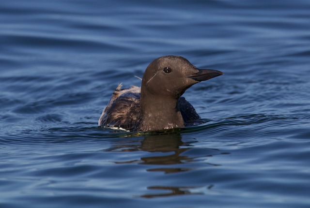
The final morning’s paddle was a leisurely 4 1/2 nm back to Side Bay in flat calm, sunny conditions. There was the usual raft of sea otters waiting to greet us at Heater Point and another near a reef in Side Bay. It was here that lone thick-billed Murre paddled right up to my kayak, rather unusual behaviour for these normally timid birds.
Our arrival back at Side Bay was relatively uneventful. We stopped at the east end of the beach to ask some campers where the road access was and then paddled another 200 meters or so west to our final take out.
We received an inReach message from Brenda about this time letting us know that Brandon was going to be an hour or so late for our rendezvous. No, he didn’t sleep in. His mother insisted on making a lunch of sandwiches, apples and cookies for our lunch causing the delay. Thank you May!
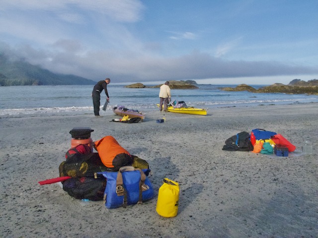
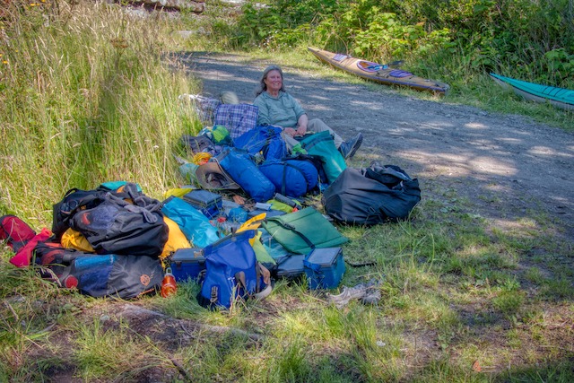
Waiting a little longer for Brandon wasn’t a problem. We had a beautiful sunny day and it gave us lots of time to carry the boats and gear up the beach. It also gave us a chance to get cleaned up and the gear organized and ready to load once the truck arrived.
All in all, this didn’t turn out to be the trip we had planned, but nonetheless it was a great kayak camping trip on some amazing coastline! Sure, it would have been nice to have carried on around the Brooks to our final destination at Fair Harbour. It was a most excellent point-to-point trip plan. But, as with any wilderness trip, plans need to be adapted to suit the weather and changing conditions. Getting focused on getting to a destination can lead to trouble if not disaster. In the end we altered our plans and our expectations and had a wonderful trip.
More Pictures
To download/purchase images click the image link below:
 Map
Map

Leave A Comment