Spectacular Scenery Awaits You on the Richardson Highway
The Richardson Highway runs 366 miles between Fairbanks and Valdez on Prince William Sound and was the first real road built in Alaska. It was originally a gold rush-era trail, which began with the first stampeders in 1898, then started up again in 1902 when gold was discovered in Fairbanks. By 1910 it was upgraded to a wagon road with roadhouses every 10 miles. In 1920, it was updated to automobile standards and was paved in 1957.
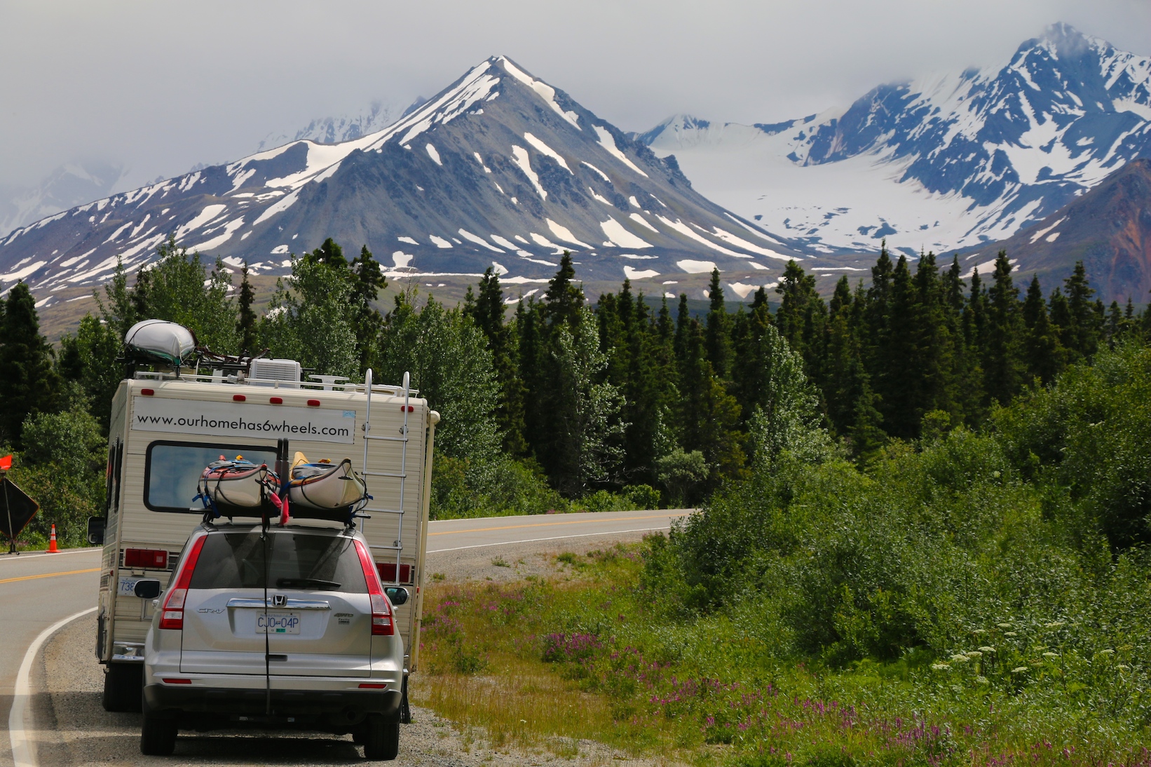
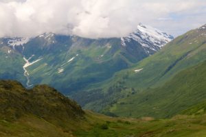
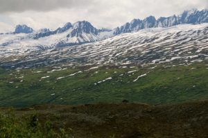
This is an exceptionally beautiful route and much of the highway is designated as an Alaska Scenic Biway. There magnificent views of the Chugach Mountains and the Alaska Range and some of the best glacier viewing in Alaska.
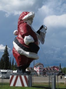
Heading southeast out of Fairbanks, the first town you pass through is North Pole, AK. You can tell all your friends you were driving south and hit the North Pole. North Pole is best known for is year round celebration of the Christmas season and includes street names like Santa Claus Lane and St. Nicholas Dr. The main street light poles are all painted like giant candy canes and the main attraction is a very large Christmas shop, Santa Clause House.
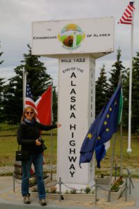
The Richardson Highway meets the Alaska Highway at Delta Junction, which is a small agricultural community. This is the terminus of the Alaska Highway and a there is a monument to that effect at the Visitor Information center, situated right at the highway junction. From here it is 268 miles to Valdez.
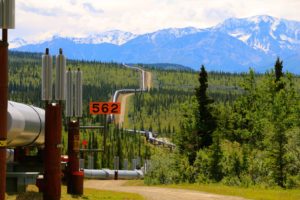
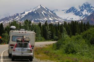
The road south leads you through some beautiful high mountain country with mountain peaks all around. The Alaska Pipeline, which runs from Valdez to Prudhoe Bay on the Arctic Ocean, follows the Richardson highway and can often be seen from the highway. There is a good pull out and informational signs about the pipeline about 22 miles from Delta Junction.
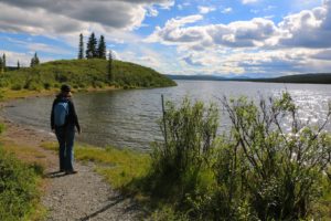
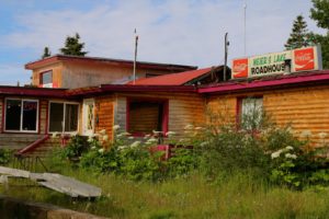
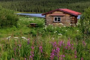
We filled up with gas before leaving Fairbanks and were only down a quarter of a tank at Delta Junction, so we didn’t bother filling up. There isn’t much gas along this stretch of road and thank god for Meier’s Lake Roadhouse. This unassuming little place actually doesn’t look like much from the road, but is more than worth the stop, even if you don’t need gas. They have a restaurant, cabins, motel and RV and tent camping and even a little museum and they have a beautiful location situated right on Meier’s Lake. We pulled in, running on fumes, and were met by Mo who, with her family, had just purchased and taken possession of the roadhouse a week before. Their gas pumps were running really slow so after chatting with Mo for a while who was amazingly cheerful and a wonderful source of information, headed inside for a coffee and homemade blueberry muffins.
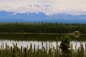
As you continue south you start to see the peaks of the Wrangell Mountains, including Mount Blackburn at 16,390 ft (4,996 m), Mount Sanford at 16,237, Mount Drum at 12.010 and Mount Wrangell at 14,163 ft.. We didn’t stop to explore this area, which was known for its copper mining, but plan to do that on the way back from Valdez.
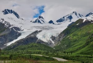
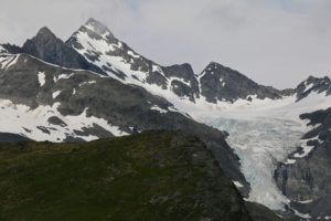
The highlight of the Richardson Highway is Thompson Pass and the Worthington Glacier. The Worthington Glacier is very close to the highway and is one of the most accessible glaciers in Alaska with a large parking area and trails up to its base. Thompson pass is high in the alpine with magnificent views of the surrounding mountains and valleys.
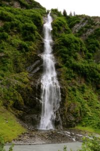
From Thompson pass it is all downhill to Valdez with a couple of stops to check out a couple of spectacular falls coming off the steep rocky faces of the very tight Keystone Canyon, including Bridal Veil Falls and Horsetail Falls.
On the way into Valdez you pass by the Old Valdez town site, abandoned after the 1964 earthquake, which measured 9.2 on the Richter Scale. There is nothing left of the old town accept or some gravel roads and a few signs mentioning where some of the more notable structures were located. Check out our post on Valdez for more information: Valdez, AK – Harbour Town.


Leave A Comment